Virtual Surveyor nv, developer of UAV image visualization and analysis software, will launch a new suite of Productivity Tools next week at the 2017 Commercial UAV Expo in Las Vegas. The Virtual Surveyor software package enables professional surveyors to generate accurate topographic end products from drone imagery five times faster than traditional field work.
Virtual Surveyor will provide software demonstrations and offer discounts on new product purchases in booth 634 at Commercial UAV Expo being held October 24-26 at the Westgate Resort in Las Vegas, Nevada.
Now used in 46 countries, Virtual Surveyor bridges the gap between UAV photogrammetric processing software and engineering design packages. In a typical application, the Virtual Surveyor suite takes the orthophotos and digital surface models (DSM) extracted from UAV imagery with photogrammetric software like Pix4D or DroneDeploy and generates an interactive virtual environment onscreen where surveyors can apply their core skill to select the survey points and breaklines that define topography.
“The appeal of Virtual Surveyor is that it combines the interpretation skill of a professional surveyor with computing power to create standard survey products,” said Virtual Surveyor Managing Director Tom Op ‘t Eyndt. “The software accomplishes this in a fraction of the time of a full field survey.”
Standard topographic outputs from the Virtual Surveyor software are Surfaces or TINs (Triangular Irregular Network), Contours, and Line Surveys. These survey-grade deliverables are ready for direct input into computer aided design (CAD) software packages such as AutoCAD, Civil3D, Magnet Office, Vulcan and BricsCAD.
To further accelerate the production of topographic data sets from UAV-derived orthophotos and DSMs, Virtual Surveyor has enhanced three of the most popular manual functions in the software with computer vision to create the new Productivity Tools.
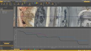
Guided Breakline Drawing Tool – Rather than select every individual survey point that defines a breakline, this tool allows the surveyor to click on just two points to define a short line segment and its direction in the virtual terrain. In seconds, the software then grows the entire breakline.
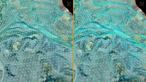
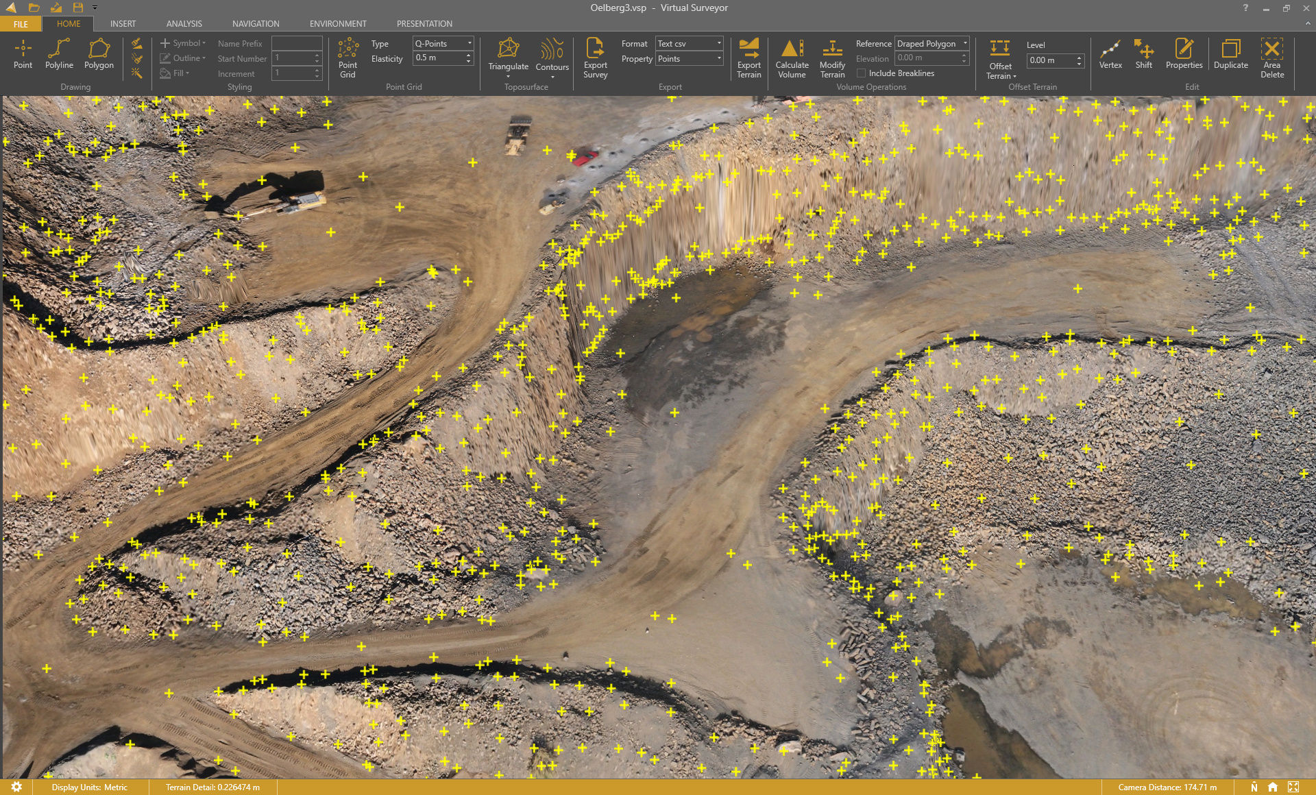
Q-Points Tool – Initiated by the surveyor, this tool helps to generate Surfaces or TINs by selecting only the meaningful ground points that define the topography. Once the points have been chosen by the software, the tool draws the boundary triangles around each surface, creating a Surface or TIN. The surveyor maintains the ability to edit the Surface by deleting unnecessary points, individually or in groups. Compared to entirely manual point generation, Q-Points reduces surface generation time by up to 90 percent.
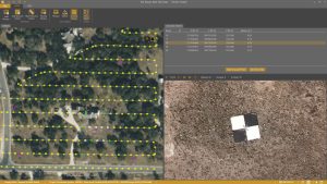
Low-Pass Point Tool – To generate an accurate bare-Earth elevation model from a vegetated image, this tool looks for points at ground level between the trees and shrubs. Rather than select any point, the tool chooses only those that define the topography, as a surveyor would. While the software places many points in seconds, the Low-Pass tool allows surveyors to add or delete points onscreen and rely on their expertise to choose the ideal grid spacing, ultimately generating a clean topographic model without vegetative cover.
“Like all the applications in Virtual Surveyor, the Productivity Tools give the professional surveyor a realistic environment in which they find it very comfortable and easy to work,” said Op ‘t Eyndt.