
Virtual Surveyor App
Create survey work from drone data in a smart way
Sometimes drone data is the only data source you need. Often, it is not. Add data from your field instruments (GPS or total station) to capture topographic features that cannot be observed from drones. Import civil designs from CAD and compare them with your drone data.
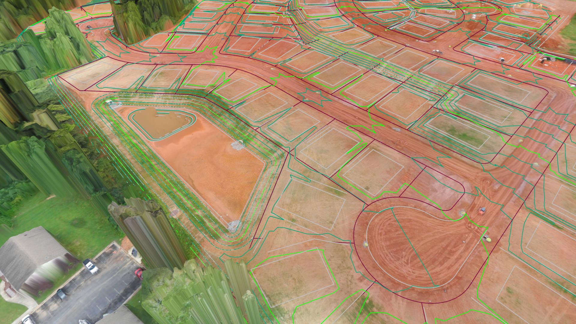
Support for data formats coming from civil design, field instruments, photogrammetry and airborne LiDAR:
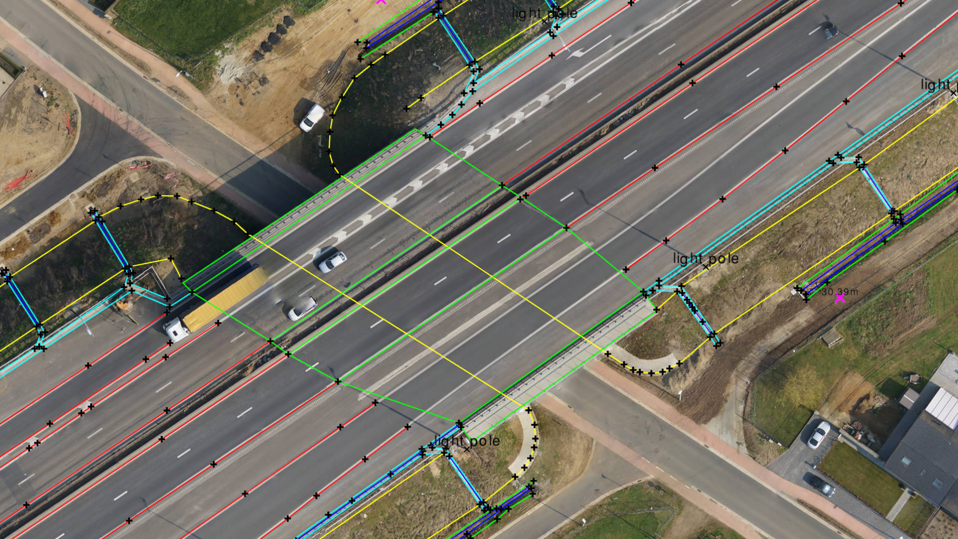
An interactive 3D view is ideal when you want to understand a topography and/or compare it with a design. A 2D map view is often easier when you are mapping linear features or need to prepare a report. The 2D profile view helps you to understand how your topography has changed over time. Switch instantly between these views.


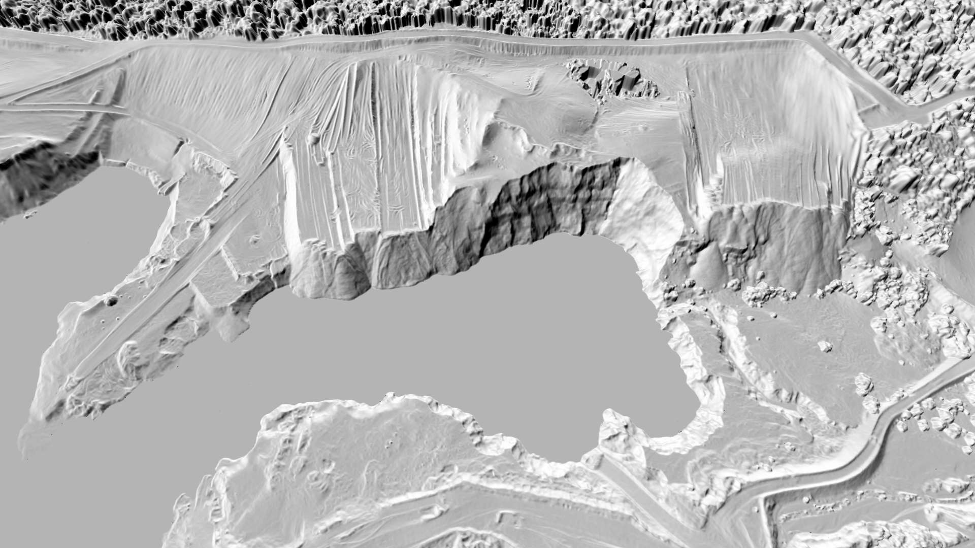
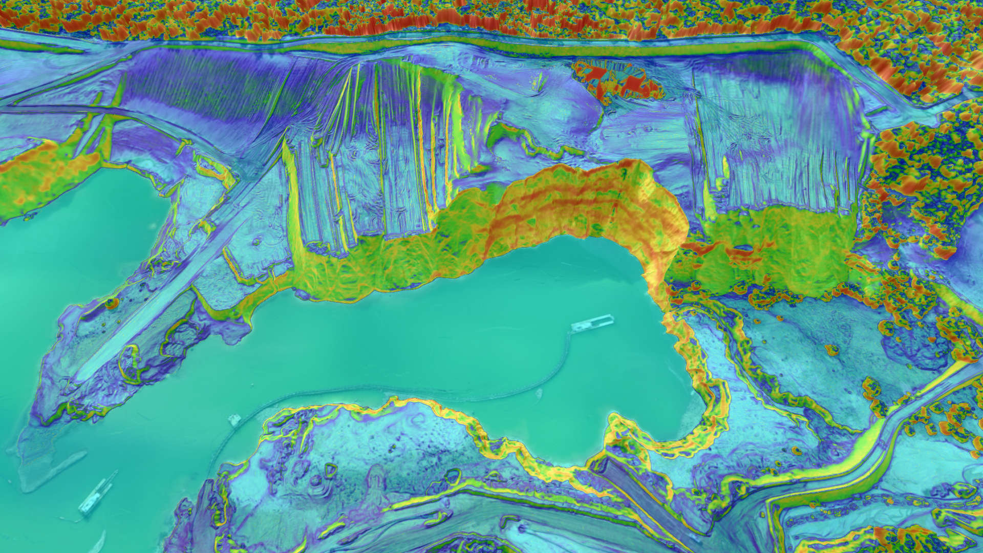
Often an orthophoto clearly displays the information you need to survey. Sometimes you want to look at the elevation only. Change the appearance of your drone data instantly through any of the 6 terrain lenses and visualize information that was hidden before.



POINT TOOLS
Measure, describe, and structure survey points directly from your drone data. Work with drone data the same way as a surveyor in the field!
LINE TOOLS
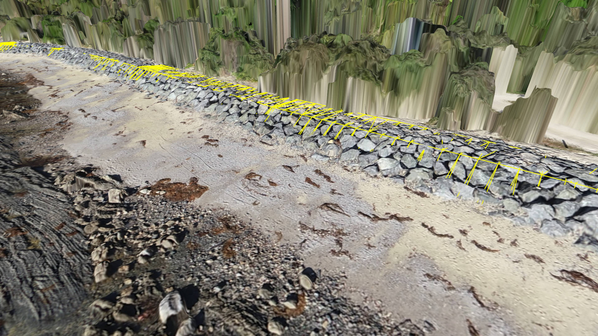
Capture linear structures and trace breaklines. Easily detect topographic details and create accurate 3D linework from your drone data.

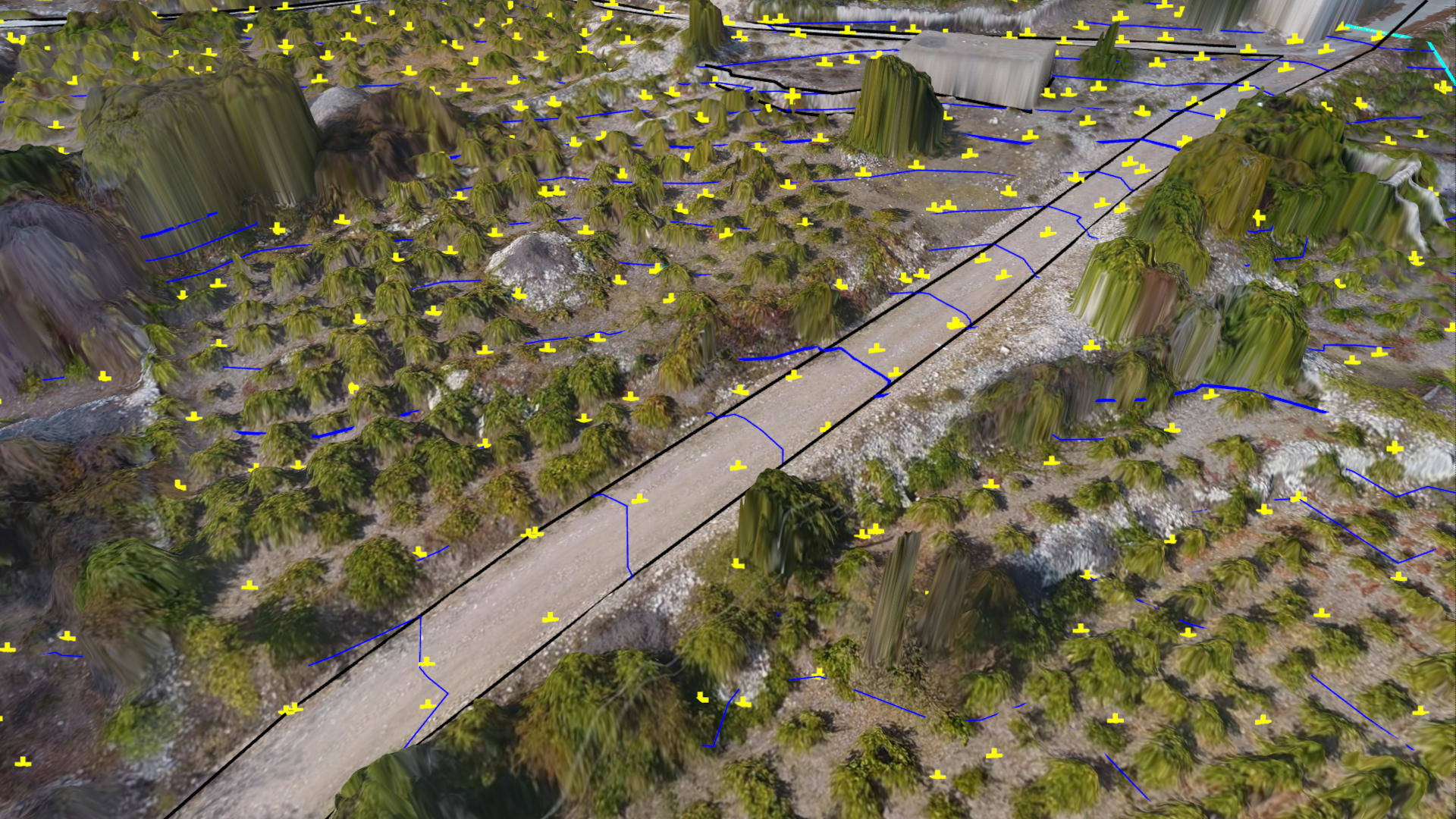
GRIDDING TOOLS
Create survey points at regular intervals. Or use intelligent algorithms to place points at bare-earth or topographic breaks. Erase tools provide an easy way to make quick edits.
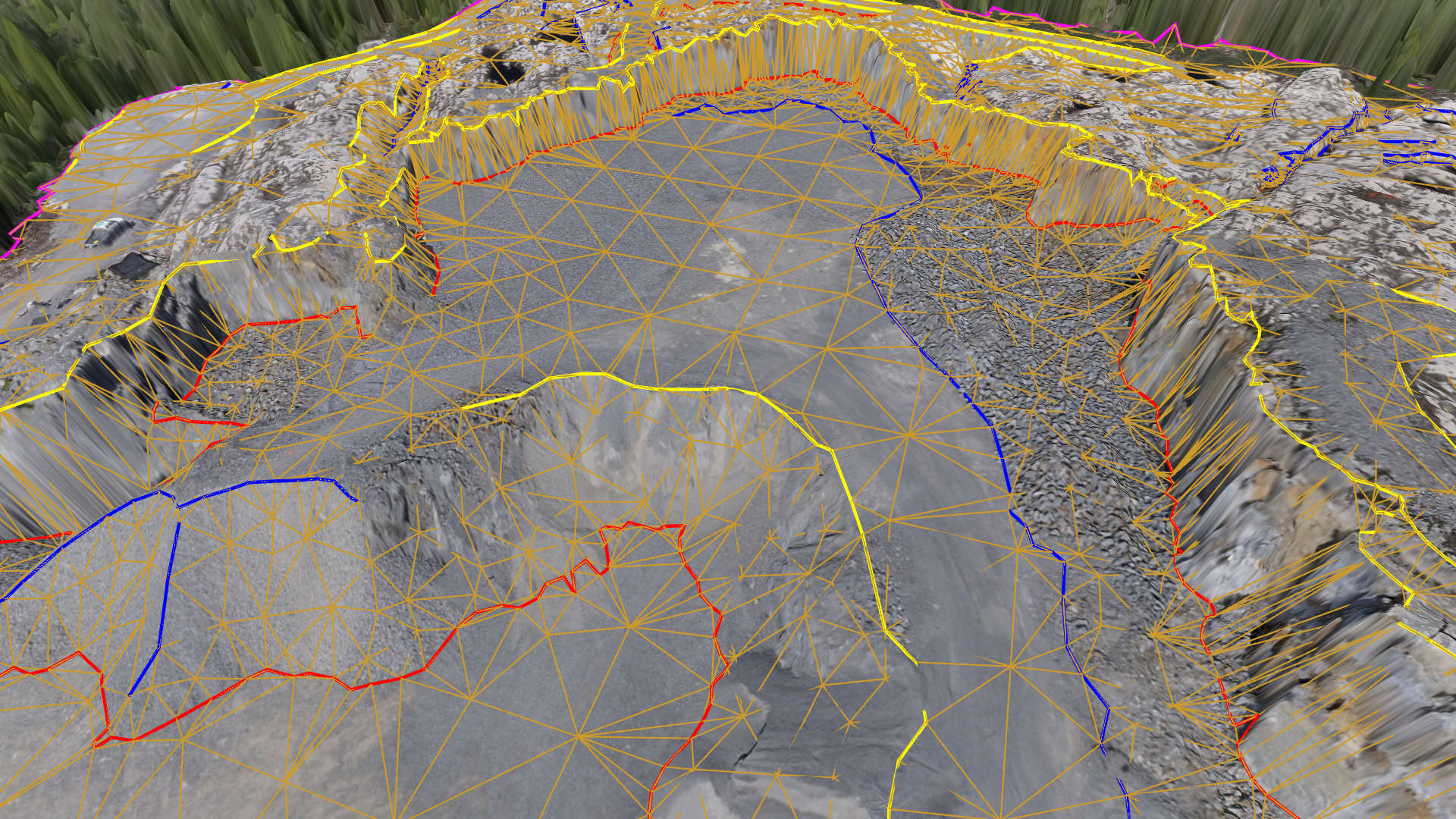
SURFACE TOOLS
Convert your survey points and linework to a lightweight CAD model of the topography. Display the surface as triangles for design, or contour lines for map purposes.
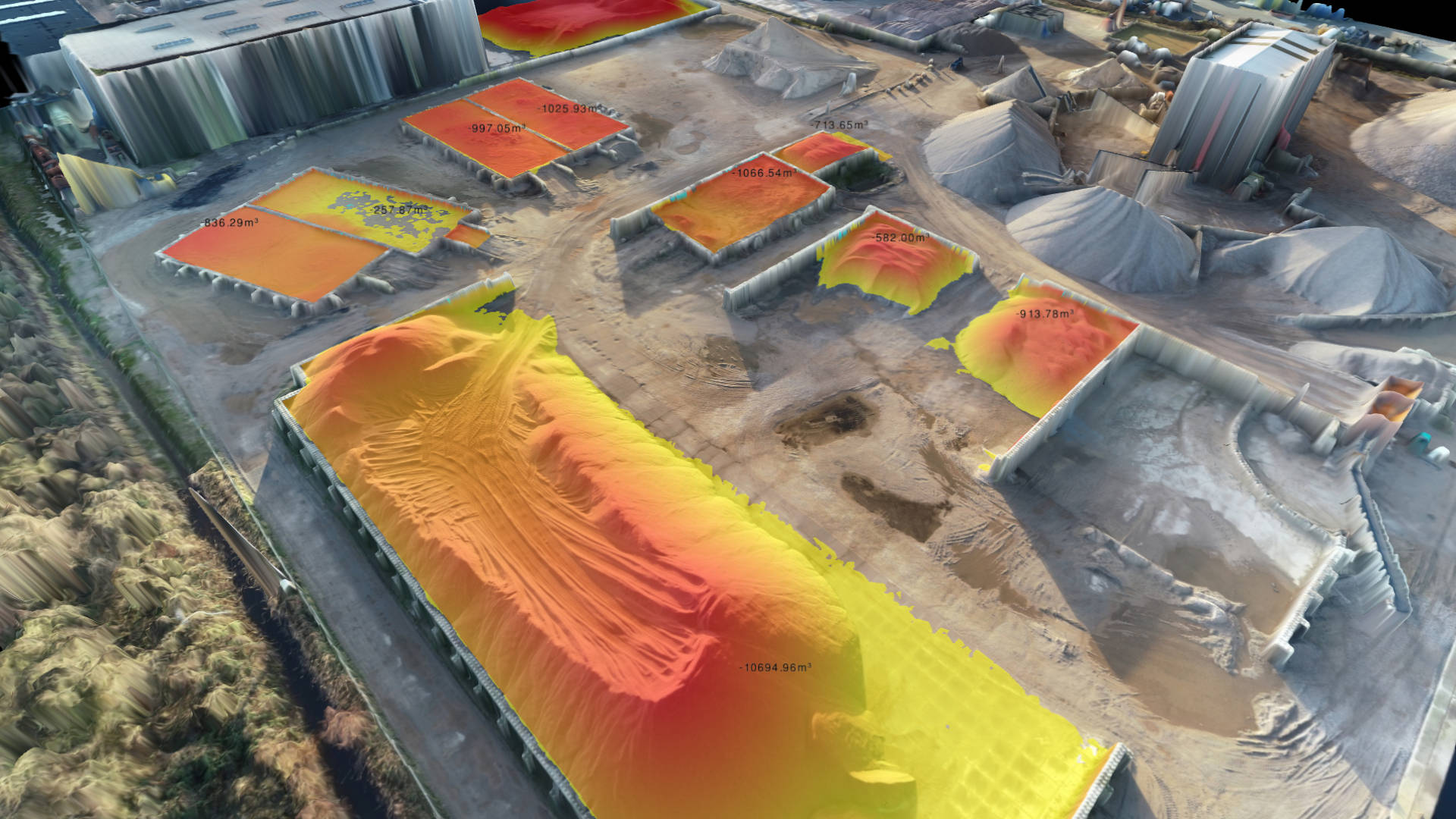
STOCKPILE TOOLS
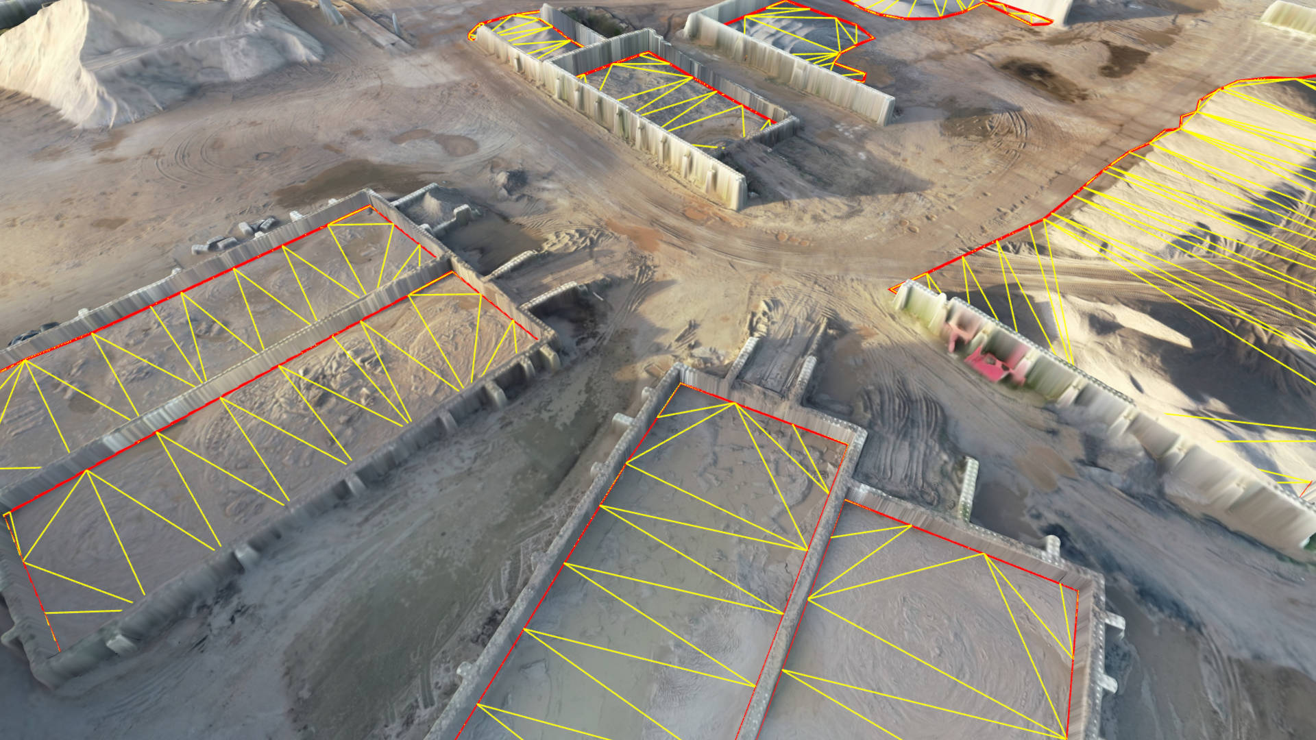
Calculate volumes for stockpiles or basins. Works for free standing, walled and fully enclosed piles.
CUT-AND-FILL TOOLS
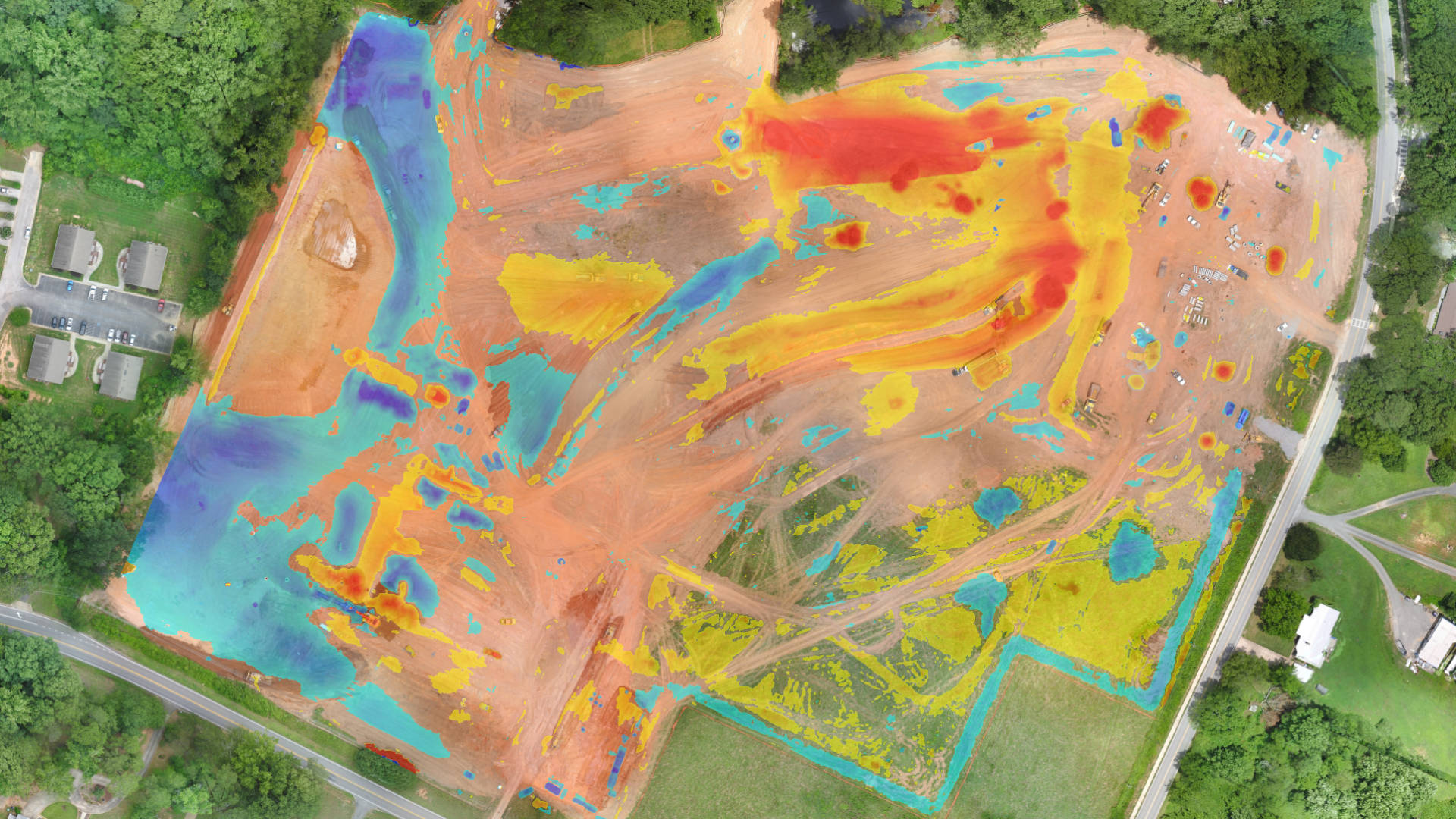
Compare progress over time between drone data, a design file or a baseline.

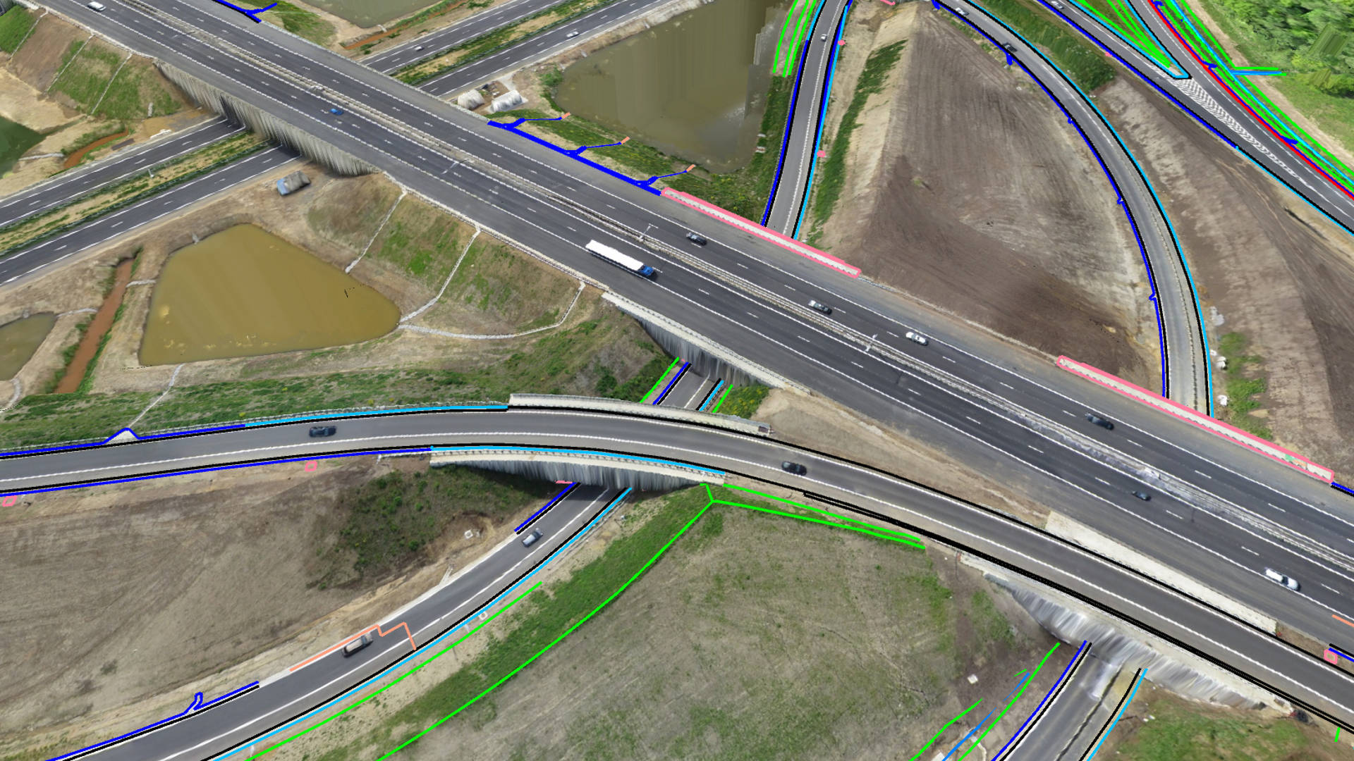
WATER
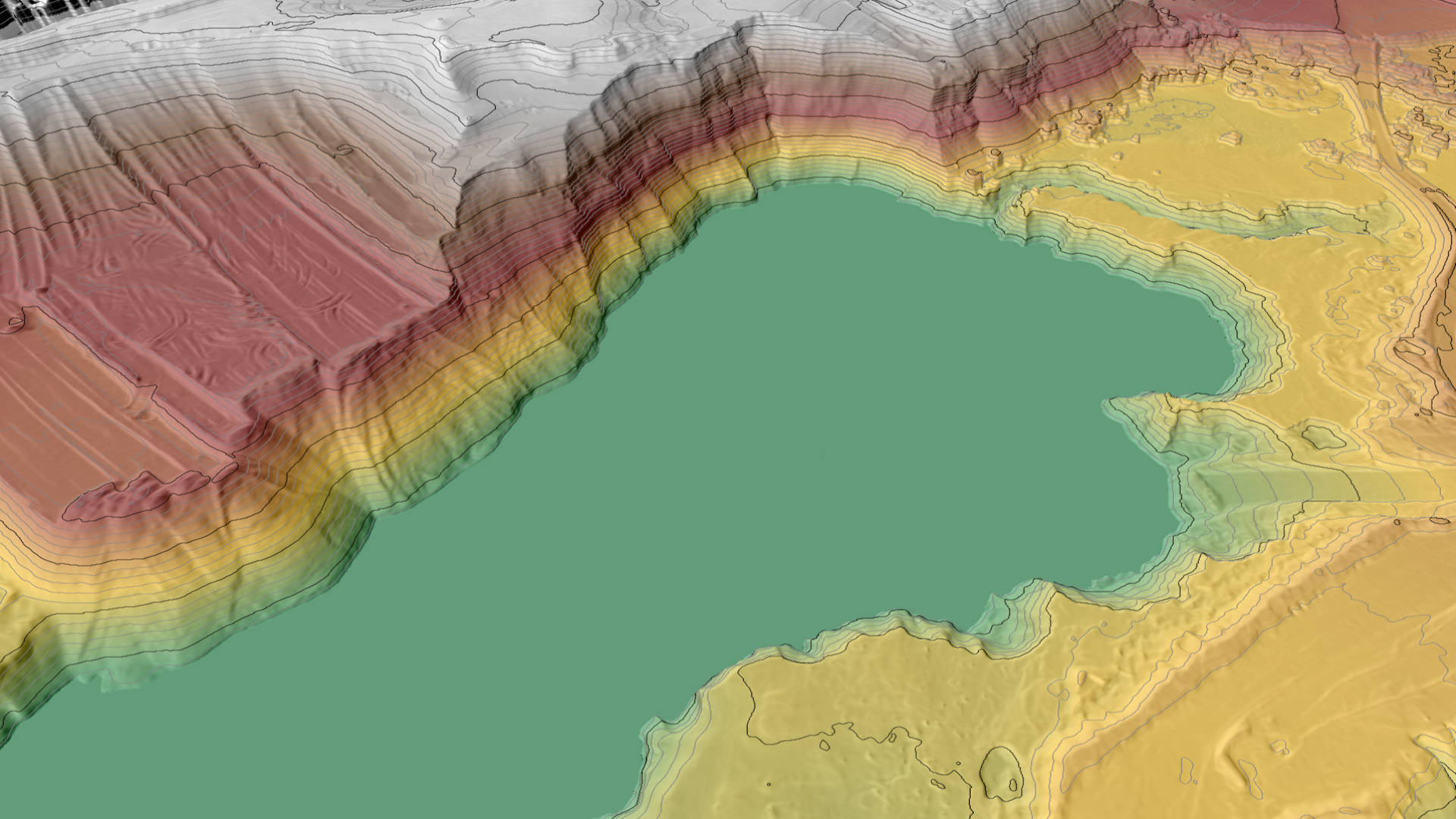
Simulate a water level on top of your drone data and calculate the intersection with the terrain. Extract a water level in a single click.
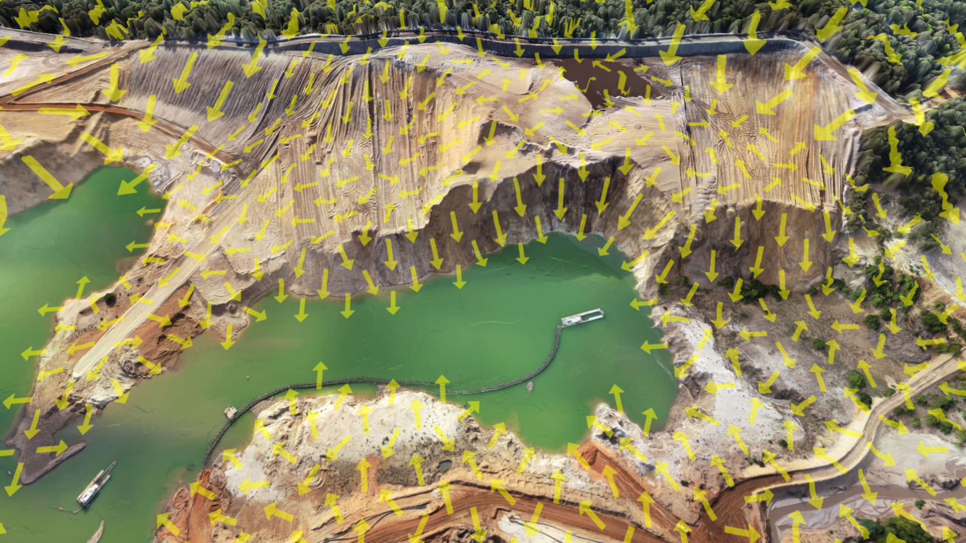
FLOW DIRECTIONS
Enable the slope directions lens and see how the water flows through your current or designed topography.
Learn more about terrain lenses

Accelerate your survey workflows with the productivity tools in Virtual Surveyor. The software produces the bulk of the output. You only need to review, remove and add some points or breaklines to complete the job.
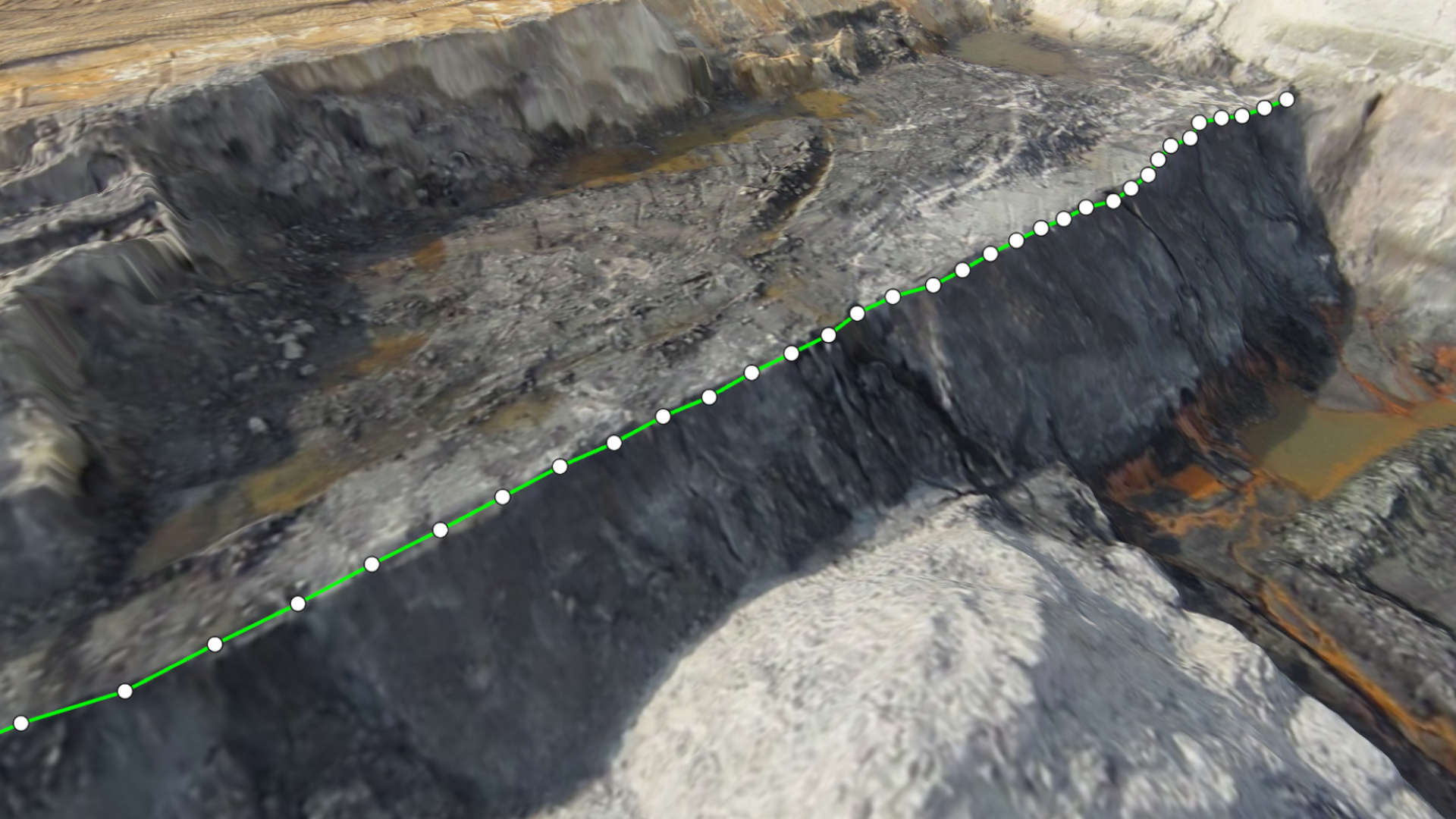
Guided Breakline Drawing
Breaklines describe changes in slope and are very important when creating an accurate surface. Draw the first segment of your breakline to give direction and let Virtual Surveyor do the rest of the job for you.
Watch how it's done!
Low Pass Points
The Low Pass filter is an ideal tool for placing ground points in complex landscapes like forested or urban areas. The algorithm does the bulk of the work and you provide the final edit.
Watch how it's done!
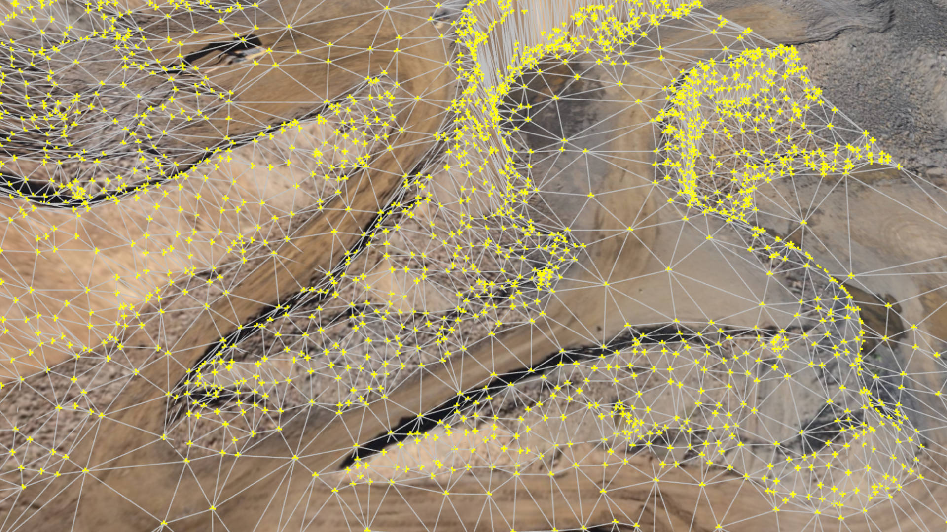
Q-Points
Q-Points are the most important points to describe your topography. The Q-Points algorithm places these points for you in minutes. You only need to review and make a few edits before making your final surface.
Watch how it's done!