Keep track of your construction site with drone data
COMPARE OVER TIME
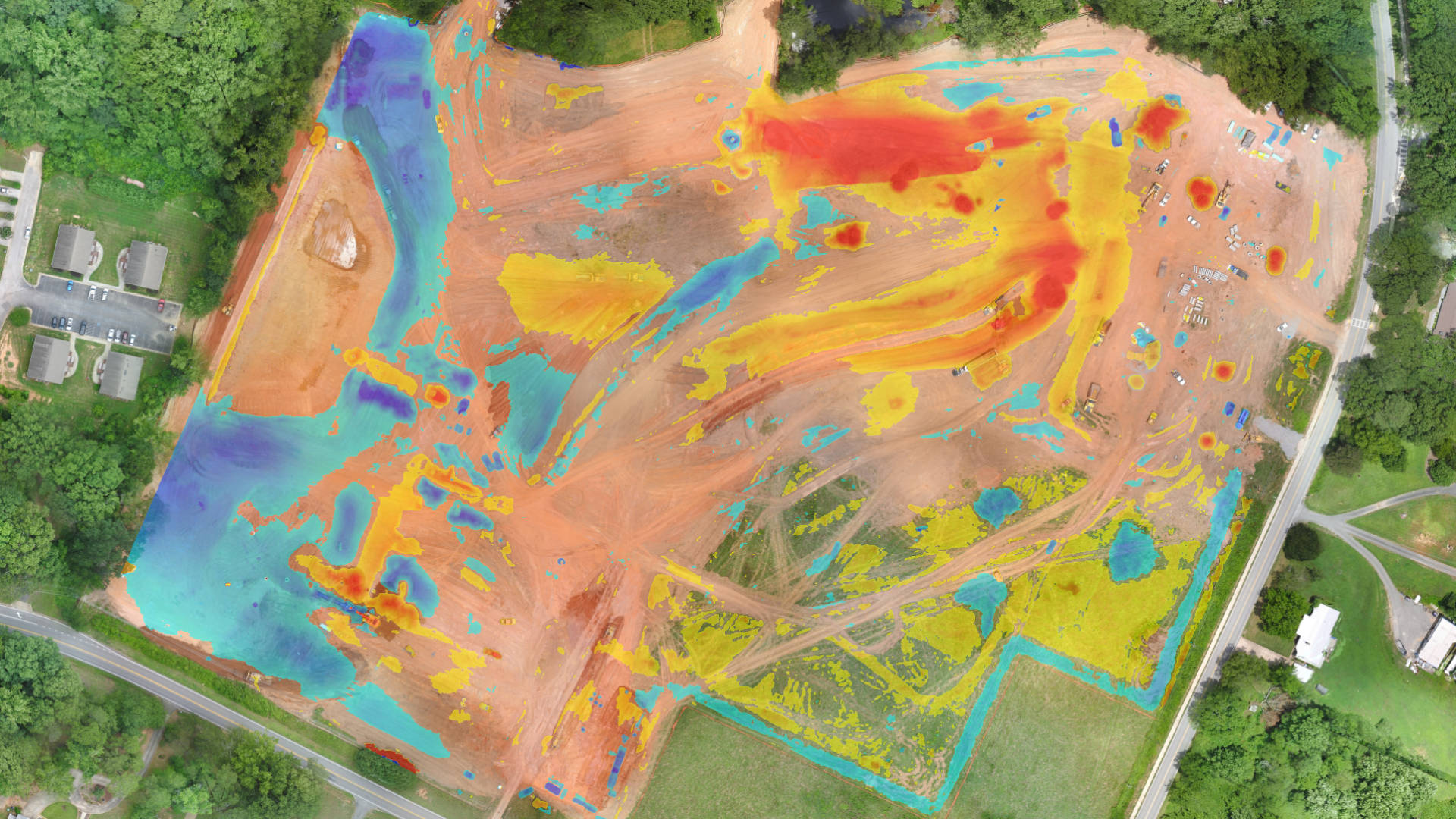
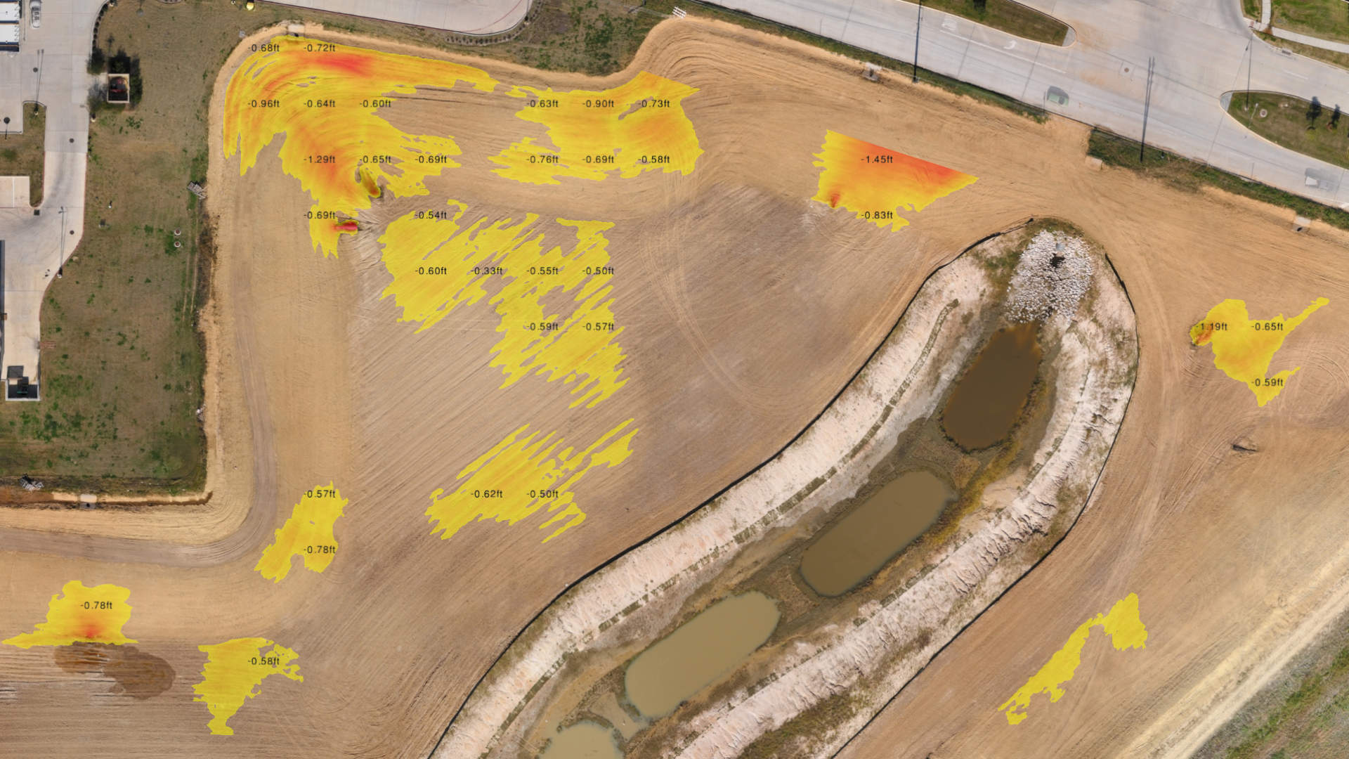
CUT-AND-FILL REPORTS
Calculate volume differences in seconds and identify areas of change between drone surveys taken at different points in time. Visualize and quantify where material is taken away or added. Also identify areas without change.
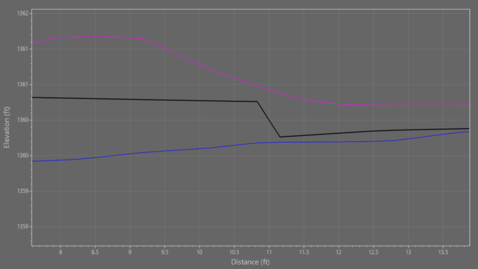
Use drone imagery on a regular basis to accurately map and monitor the progress of your earthworks excavations, ensuring the volume of dirt added or cut meets the design specifications.
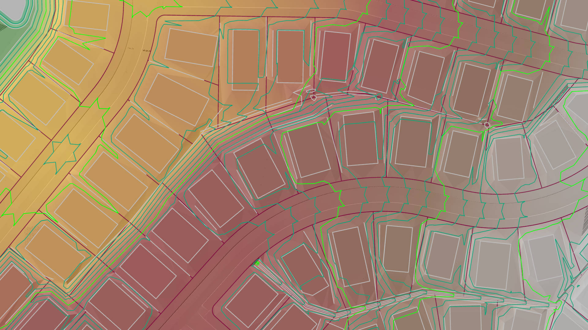
Bring in your civil design and convert the CAD file to a terrain. Compare the design terrain with your drone data using the cut-and-fill analysis. How much dirt do you still need to move?
No job is complete until that final survey is done, the as-built! Drone surveying allows you to create a final check and proof of the work done. This assures the final bill is correct and eliminates all disputes and liabilities.