Create lightweight CAD models from your drone data
Survey Today
ROAD SURVEYS
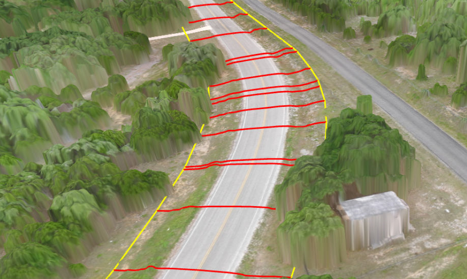
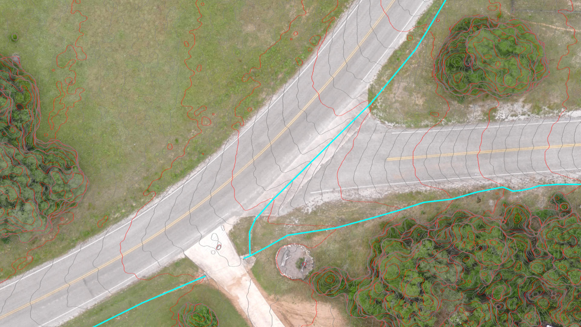
The section lines tool allows you to create road surfaces in short time frames. Simply create a road center line, generate section lines and capture the topographic detail with the densify and edit functions.
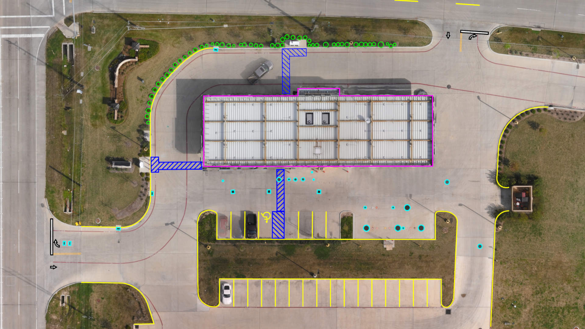
Extract parking lots, building outlines, and road markings directly from drone data. Use our effective, user-friendly tools to create planimetric surveys quickly and accurately. No CAD expertise required.
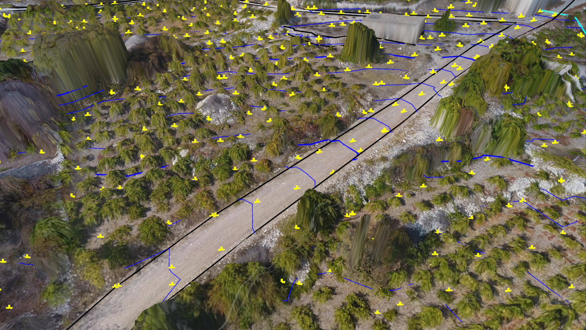
The low-pass gridding tool is ideal for placing ground points in complicated landscapes like forested or urban areas. The algorithm does the bulk of the work and you provide the final edit.
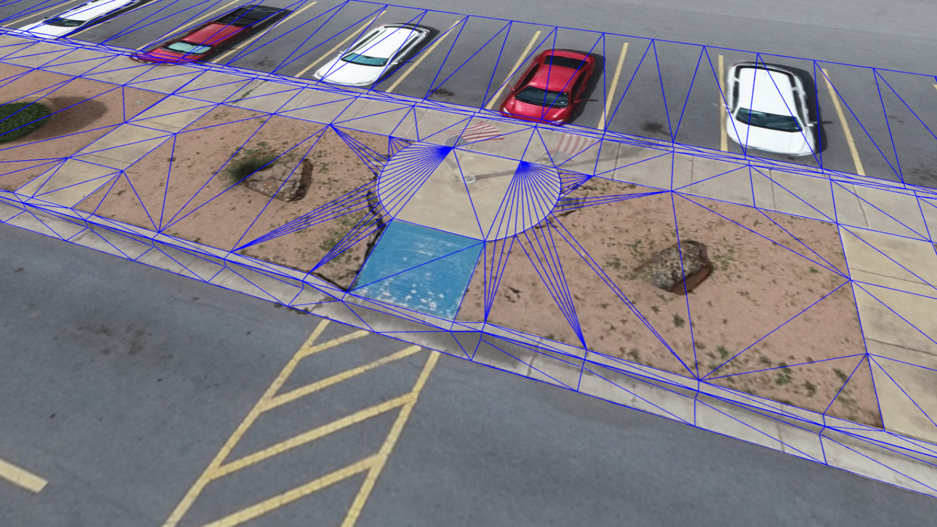
Combine field measurements with your drone data to model curbs. Survey the back of the curb from your drone data. Model the rest of curb using offset tools and field measurements. Then complete with quick editing tools.
Knowing how water flows is important for road safety and construction developments. Terrain lenses instantly highlight information from your drone data that give insight into the waterflows and more.