The Virtual Surveyor drone surveying software now offers a faster, more efficient workflow and better overall user experience in a more stable platform. These new capabilities, along with an improved licensing system and an extended free application, are available now in Virtual Surveyor 6.
“Surveyors who have used the Virtual Surveyor package in the past will be amazed at how easily they can manipulate data and how quickly the software renders results of even the most complex topographies,” said Tom Op ‘t Eyndt, Managing Director of Virtual Surveyor nv in Belgium.
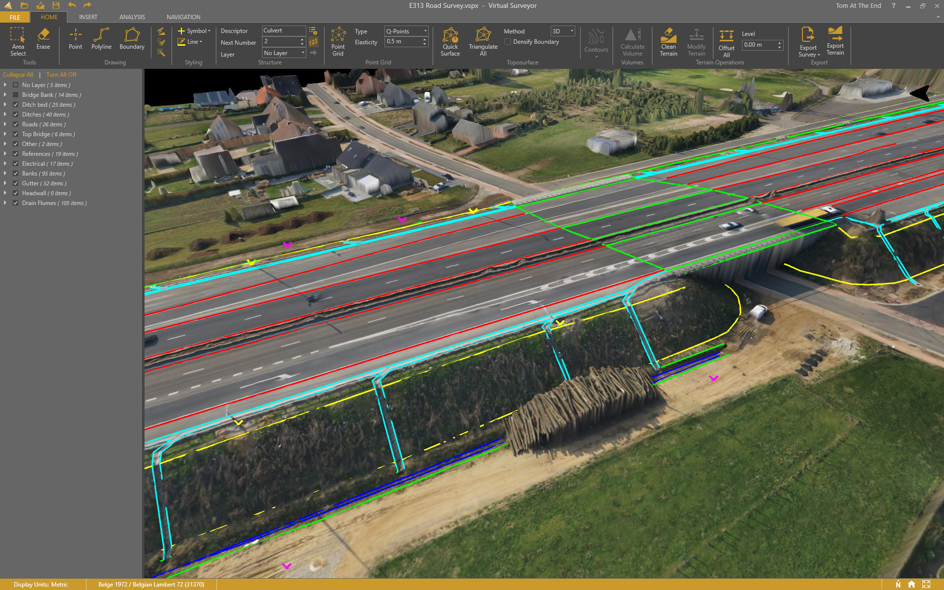
The software leverages the expertise and interpretation skill of a land surveyor and combines it with the computing power of the computer. Virtual Surveyor generates an interactive onscreen environment through orthophotos and digital surface models, generated from the unmanned aerial vehicle (UAV), where the surveyor selects survey points and breaklines to define the topography.
Virtual Surveyor is extremely popular among land surveyors because it enables them to complement traditional fieldwork with UAV imagery to generate highly accurate topographic products up to five times faster than otherwise possible. Virtual Surveyor bridges the gap between UAV photogrammetric processing software and popular engineering computer-aided design (CAD) packages.
“The focus of Version 6 development has been to streamline the workflow – from the importing of drone data to exporting topo information into CAD - to make the surveyor more productive,” said Op ‘t Eyndt.
Key enhancements in Virtual Surveyor 6 include the following:
Easier Editing – The new editing functions allows users to quickly select, delete or move individual point and lines placed by the computer during the automated creation of elevation points. The associated Undo/Redo function allows reversing all edit operations.
Better CAD Integration – The addition of Descriptor functionality means that point descriptions remain with the point during export to CAD, working the same way as the land surveyor collects data in the field.
3D Geometry Retained – All points, lines and other data imported into the software, either from a UAV or field surveyed data, retain elevation values and integrate seamlessly into the merged scene. This allows a surveyor, for example, to collect point values from a ditch bottom that may be obscured by vegetation in the drone image and have the bottom points accurately represented in the topography.
Improved Drawing Tools – Users can now densify (drape) lines and boundaries to map current surface conditions. Individual vertices are now adjustable in all directions and exact X, Y and Z locations can be specified as well. Sub-surface modeling is now possible with these new improvements. Created features can then be exported to CAD for profile or alignment creation.
Extended Free Plan – Referred to as the Valley version, the free Virtual Surveyor suite has added functionality, including the ability to import photogrammetric data.
Improved Licensing – We better honor our principle: “The license follows the user”. With an improved licensing system based on a Virtual Surveyor Identity (email) the user will be able to work where he or she wants.
“The enhanced user experience will continue to appeal to professional land surveyors, who are our core client base,” said Op ‘t Eyndt. “And the seamless integration with CAD and advanced drawing tools will make Virtual Surveyor more attractive to design engineers.”