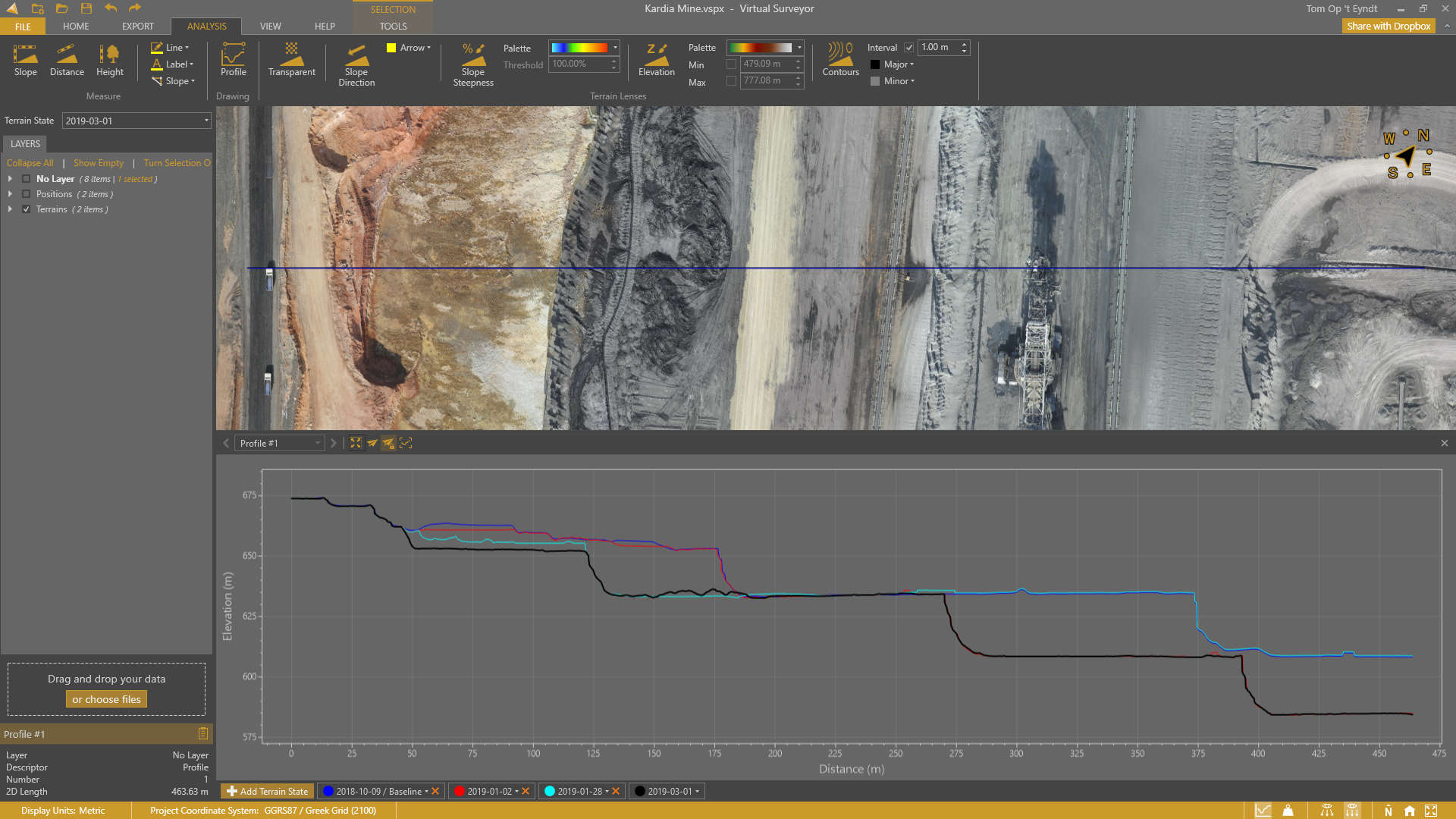
With the goal of giving surveyors a better understanding of the topographic data captured by drone mapping sensors, Virtual Surveyor has unveiled Profile View functionality in Version 8.4 of its popular surveying software. Profile View enables users to generate an elevation profile simply by drawing an onscreen traverse across any part of the data set created from drone imagery or LiDAR point clouds.“
For comprehensive understanding of the terrain, surveyors need to view their elevation data in 2D, 3D and in profile,” said Tom Op ‘t Eyndt, Virtual Surveyor CEO. “The Virtual Surveyor software now offers all three types of viewing so users can look at their data from any angle and perspective.”
Virtual Surveyor is a robust surveying software that bridges the gap between drone photogrammetric processing applications and engineering design packages, enabling surveyors to derive topographic information from drone data needed by engineers for construction, mining, and excavation projects. The software presents an interactive onscreen environment with drone orthophotos, digital surface models (DSMs), and/or LiDAR point clouds where users generate CAD models, create cut-and-fill maps, and calculate volume reports.
The Profile View allows users to draw straight or curved lines to cut across the terrain surface or follow an irregular feature, such as a road. The elevation profile is displayed in a new window that opens on screen. Profile View functionality will be valuable for surveyors working in any application related to construction, surface mining, landfill, and other types of excavation.
Common use cases will be:
Elevation Change Over Time – By tapping into Virtual Surveyor’s Terrain States feature, users can generate Profile Views for data sets from two or more different dates to see how elevation values have changed. This facilitates monitoring the progress of excavation at construction or mining sites. Or it can be used to track the addition of materials in landfills and dump sites.
Grading to Design – At construction sites where building lots or road surfaces are being graded, the Profile View allows the surveyor to capture a profile straight across the lot or along the twisting centerline of the road. These profiles can then be compared against the design file to ensure the grading matches the plan or determine where additional soil must be removed.
The Profile View can be saved as a screenshot and pasted into a document for easy report creation.
“Version 8.4 includes several other new features and enhancements designed for a better user experience,” said Op ‘t Eyndt.
These features include the following:
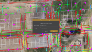
Import/Export KML – Users can now export the survey geometries created in Virtual Surveyor to view them in Google Earth. Or they can import a .kml file containing their project boundary into Virtual Surveyor to provide a spatial context to their drone survey project.
Improved Snapping – When snapping a line segment, users previously had to search for the vertex, but now the software automatically highlights all vertices on a line when the Snapping function is selected, offering significant time savings.
Toast Notifications – Now a common feature in many software packages, messages to notify the user of an application event like Copy Viewport, Toast notifications subtly appear on the screen and then fade away without the user needing to dismiss them.
Current subscribers to Virtual Surveyor will see their software updated to Version 8.4 automatically. To start a free 14-day trial of Virtual Surveyor and to view details of the Valley, Ridge and Peak pricing plans, visit www.virtual-surveyor.com.