Waste Management

Use drone data to monitor and shape your waste site
YOUR WASTE SITE TODAY

VISUAL INSPECTION

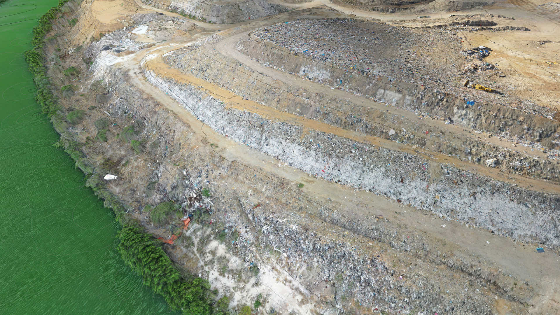
Transform drone-captured photos into a detailed virtual world of your waste site. Monitor site condition from behind your desk, and explore every corner of the terrain without setting foot on-site.

Create your site…

STOCKPILES

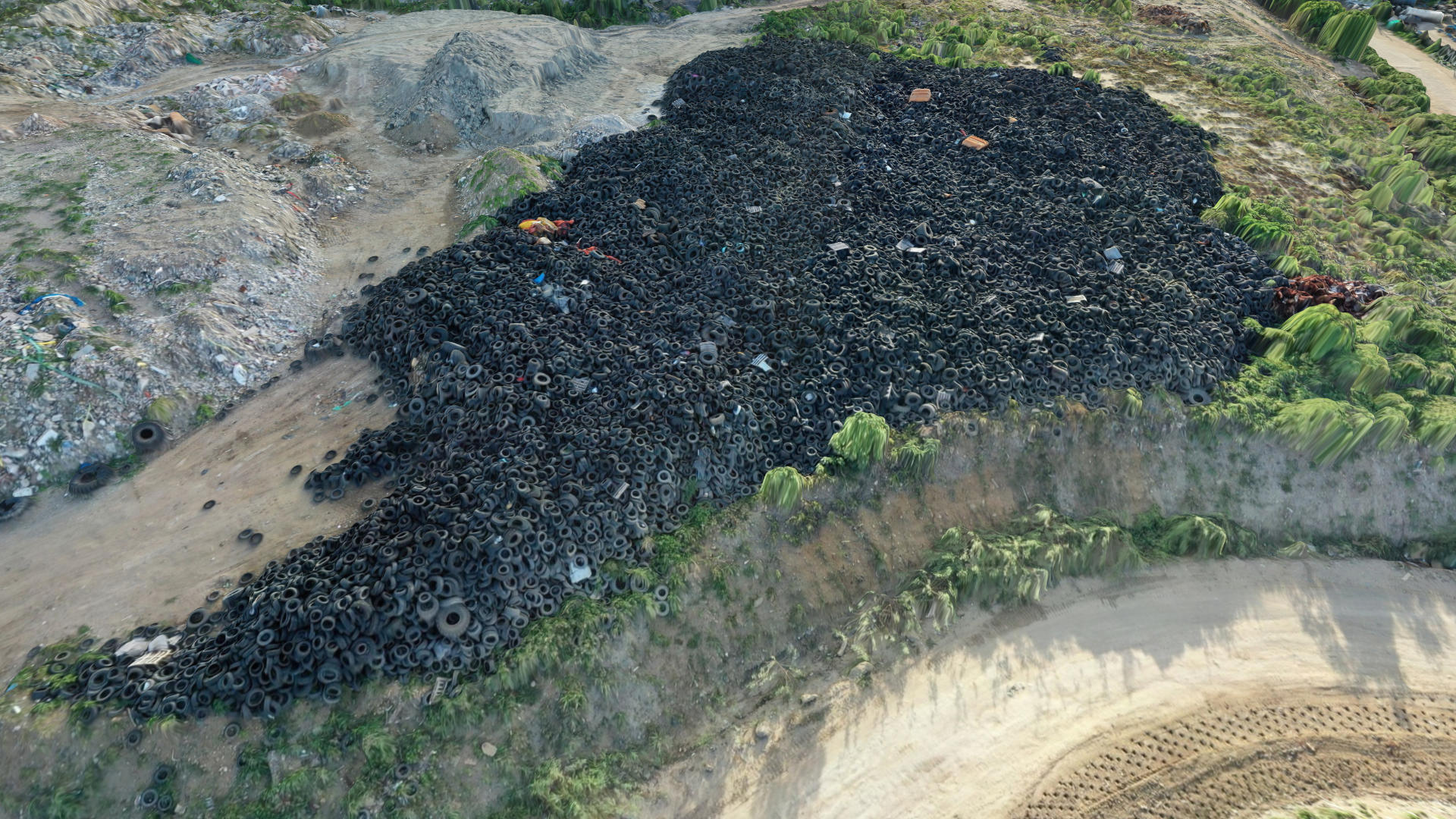
Regularly and accurately measure the volume of waste piles safely and efficiently, without the need for crews to climb on unstable material or enter hazardous or hard-to-reach areas.

More on stockpiles…


TRACK YOUR WASTE SITE OVER TIME

Use drone imagery on a regular basis to track the progress of your waste site, ensuring that filling and grading align with the design, while also assessing compaction efficiency, monitoring the maximum fill extent, and calculating remaining capacity.

ASSESS AIR SPACE

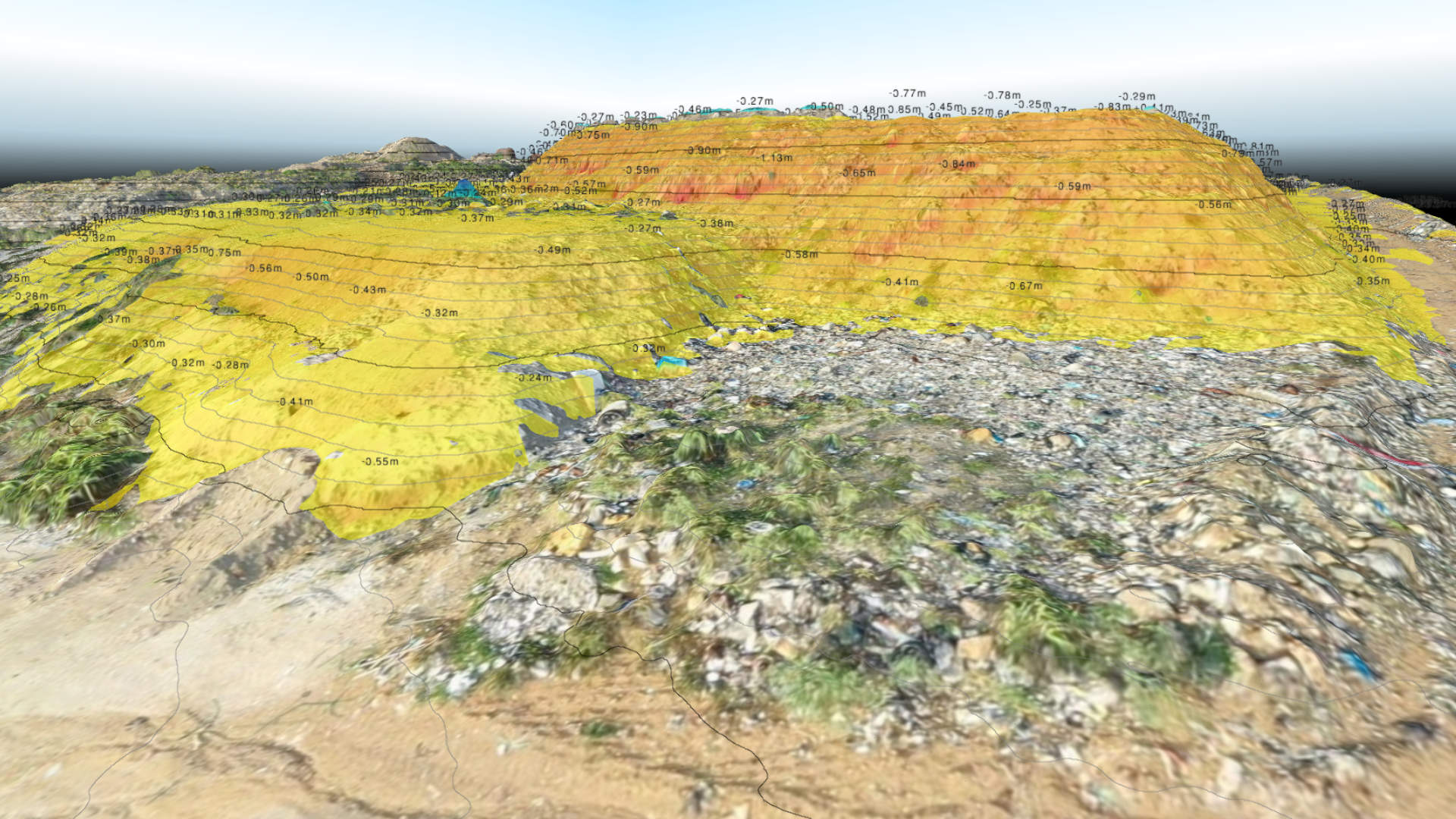
Compare your current drone-based surface with the approved final cap design to calculate remaining airspace. This helps you track available fill volume, plan operations efficiently, and stay within permitted limits.

COMPACTION RATE

Estimate compaction rates by analyzing volume changes within defined cells or regions. This helps you understand how efficiently each zone is filled and supports smarter planning and airspace optimization.

COLLABORATE WITH YOUR TEAM.

Give your teams access to the entire timeline of your site.
Use your existing OneDrive or Dropbox storage - no new tools, no extra costs!

ADJUST YOUR SITE WHILE IT GETS FILLED

FINAL CAP SURFACE

Shape the final cap surface by drawing breaklines and applying slope constraints directly on a drone-based baseline. This process helps define the maximum fill extent, calculate remaining capacity, and monitor how the site evolves over time.

ACCESS ROADS

Design access roads that adapt to the evolving site topography while staying within defined slope limits. As the waste body grows, roads are adjusted to ensure safe, efficient access for equipment and vehicles throughout all phases of the project.