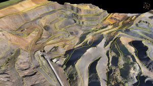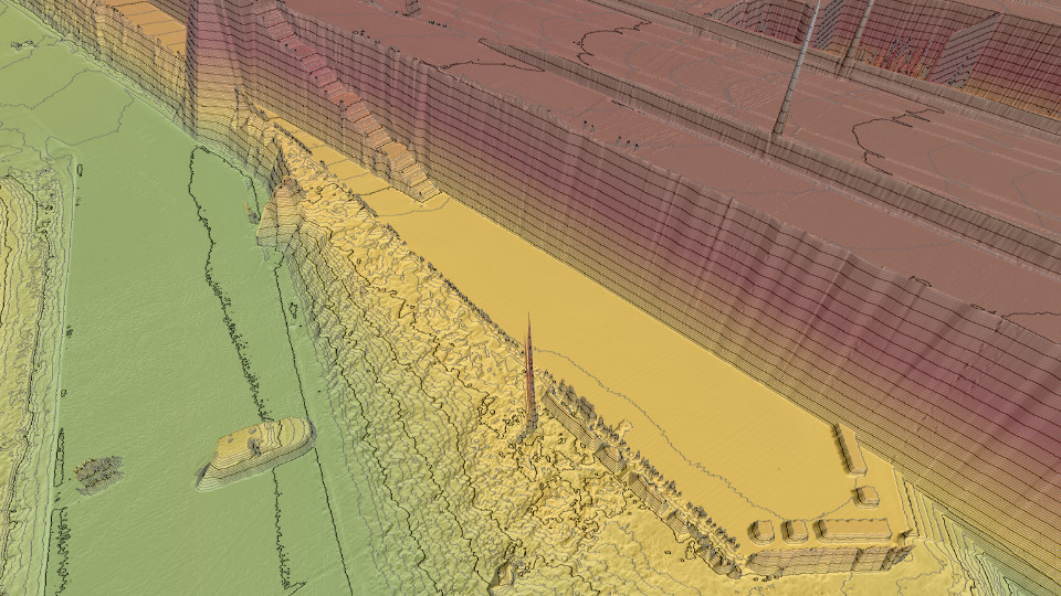
Virtual Surveyor has unveiled Terrain Lenses in Version 6.3 of its popular drone surveying and mapping software. Overlaid on a LiDAR point cloud or orthophoto, the six lenses enhance different aspects of the terrain in 3D to give users a better understanding of the topography in the area they mapped with an unmanned aerial vehicle (UAV).
The Virtual Surveyor package enables professional surveyors to generate accurate topographic end products from drone data five times faster than traditional field work, bridging the gap between UAV photogrammetric processing software and engineering design packages.
“Whether a drone surveyor is generating map products from orthorectified imagery or LiDAR elevation data, our new Terrain Lenses provide richer insights into the topography,” said Tom Op ‘t Eyndt, CEO of Virtual Surveyor nv in Belgium. “Instantly applied with a single click or shortcut, the Lenses can be used alone or together to achieve different effects.”
Six Terrain Lenses have been included in Virtual Surveyor 6.3 released today:
Hill Shade lens – Designed mainly for application on a Digital Surface Model created from LiDAR data without an underlying ortho, the Hill Shade lens simulates sun illumination casting shadows on the scene. The result is enhanced 3D perception of hills, valleys and other relief.
Contours lens – This lens creates smooth contours over the terrain. It helps to trace the route water would take as it flows through the terrain. Also, when cleaning ‘noise’ from a water body, this lens assists in tracing a boundary at the same level.
Transparent lens – Ideal for areas where topographies change quickly and hide previous states, this lens allows the user to look through one terrain model to see the surface, boundaries or breaklines from a different day.
Slope Direction lens – Designed for better understanding of hydrology, this lens places arrows over the digital surface model to show the direction of water flow throughout the scene.
Slope Steepness lens – When the terrain is too bright or dark in an orthophoto, it can be difficult to detect breaks in the terrain to draw breaklines. This lens colorizes the slopes to highlight breaklines.
Elevation lens – This lens automatically colorizes the terrain so that ground surfaces of the same elevations appear in the same colors, giving the user an easy understanding of the highs and lows of the landscape.
“In addition to the Terrain lenses, Version 6.3 gives users a more stable experience with faster rendering and navigation, even while complex calculations are occurring in the background,” said Op ‘t Eyndt.
Virtual Surveyor users will find several other new or enhanced capabilities in Version 6.3:
Copy/Cut/Paste – Project structure is important, and these functions can be used to move any project item to another layer or to duplicate an existing project item before starting an edit
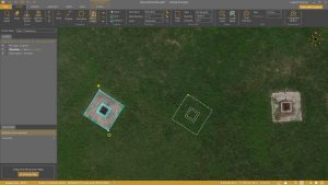
Split Line Tool – Commonly used to calculate material volumes in mines and quarries, the new Split Line Tool allows the user to cut out pieces of a boundary drawn around the feature or area to be calculated.
Q-Points Algorithm – The Q-Points Productivity Tool has been improved to capture more detail with fewer points. This tool generates Surfaces or TINs by selecting only the meaningful ground points that define the topography, reducing surface generation time by up to 90 percent
Current subscribers to Virtual Surveyor will see their software being updated to Version 6.3 automatically.