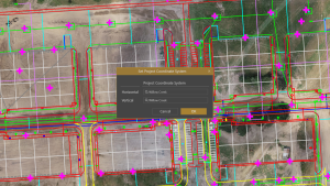
Virtual Surveyor, the popular drone surveying software, has eliminated the need for clients to use third-party applications to prepare data for processing. Released this week, Virtual Surveyor 6.1 now handles on-the-fly projections that previously required a separate software package to set the data in the proper coordinate system.
“We have developed a completely new project experience for users of UAV data,” said Tom Op ‘t Eyndt, Managing Director of Virtual Surveyor nv in Belgium. “Version 6.1 will save our customers time and money once spent converting their drone data for processing in Virtual Surveyor.”
Virtual Surveyor has become popular among surveyors because it bridges the gap between UAV photogrammetric processing applications and engineering computer-aided design (CAD) packages. The software generates an interactive onscreen environment with UAV orthophotos and digital surface models where the surveyor selects survey points and breaklines to define the topography, creating highly accurate topographic products for CAD input up to five times faster than otherwise possible.
“Our value proposition has always been to enable surveyors to derive topographic information from drone data and deliver the light-weight meaningful CAD model that engineers need,” said Op ‘t Eyndt.
Prior to Version 6.1, users always had to start from an orthophoto and digital surface model (DSM). Now, surveyors can drag and drop all kinds of files into Virtual Surveyor: points, raster, vectors and point clouds. The point clouds are converted to a DSM for manipulation and processing, dramatically accelerating the time required to generate the CAD model.
“Not only is this faster, but it eliminates the expense of purchasing additional software,” said Op ‘t Eyndt.
Some customers asked to work only with a CAD file, he explained. Although they work with drone data most of the time, they occasionally had to create a surface or contours from a traditional survey. They asked if this could be done in Virtual Surveyor as it would save them from paying for a subscription to a CAD software.
Long-time Virtual Surveyor clients will find the entire project experience has been streamlined and improved with new capabilities in V6.1:
Start from any data set – Projects can now be initiated from Orthophotos, DSMs, Point Cloud or CAD files.
Convert coordinates on the fly – Users can input data in any coordinate system and convert it during processing to another system after the project has begun.
Developers of Virtual Surveyor have also added these features to V6.1:
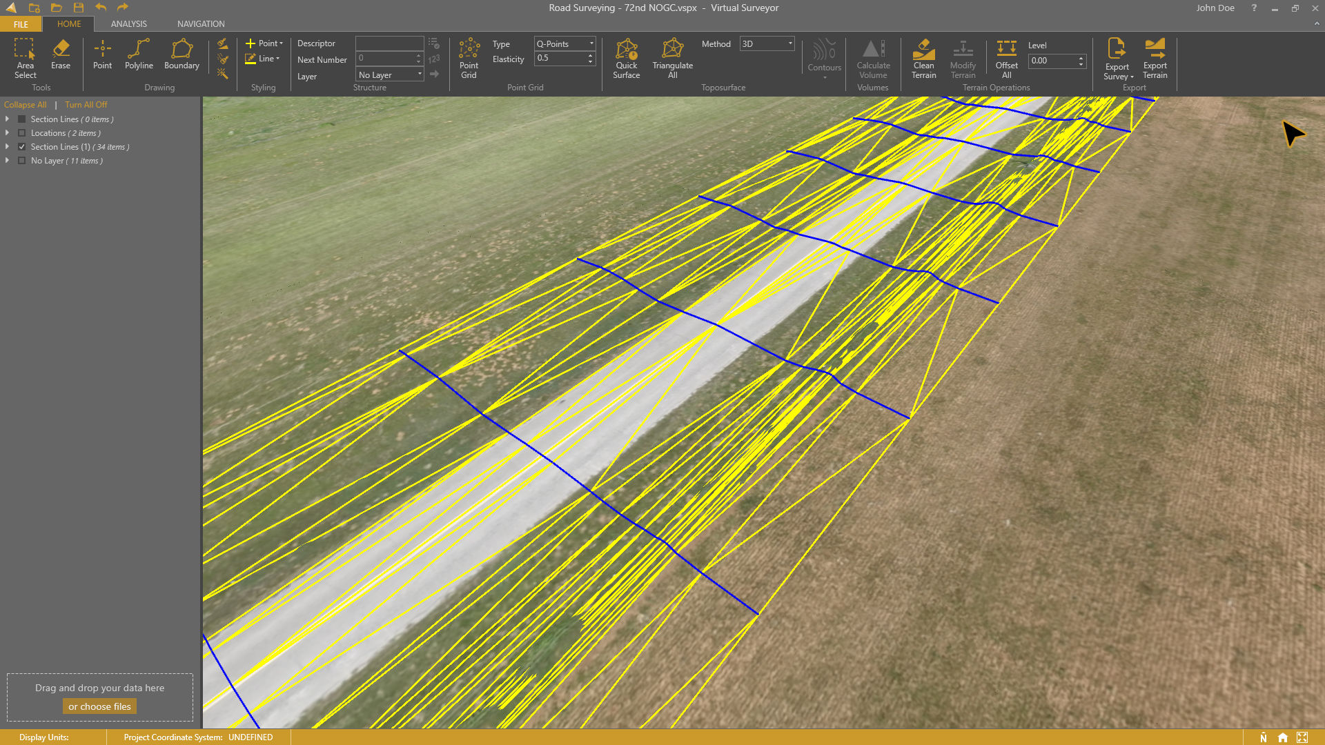
Automatic creation of section lines – V6.1 automatically generates sections from road surfaces to survey transportation routes in minutes.
Transparent layers – Users can add topographic or cadastral data to their project and view it through the orthophoto layer to annotate or draw boundaries.
“Overall, users will experience a faster processing environment in Virtual Surveyor 6.1 especially during complex tasks, such as making terrain modifications or calculating volumes,” said Op ‘t Eyndt. “Our goal with this version has been to make professional land surveyors more efficient.”
Current subscribers to Virtual Surveyor will see their software being updated automatically.