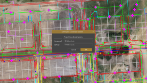
Virtual Surveyor has enhanced its popular smart drone surveying software with new planimetric survey capabilities. In addition to multiple performance modifications, Virtual Surveyor version 9.5 now enables users to quickly, easily, and accurately survey 2D features from drone orthophotos and add them to the 3D topographic model generated from the same data set.“
The new planimetric tools significantly improve the speed with which users can survey the features that reside on top of the topography,” said Tom Op ‘t Eyndt, Virtual Surveyor CEO. “These include features that truly exist in 2D on the terrain, as well as 3D objects that can be represented in 2D for the purposes of the survey.”
True 2D features, for example, include the paint striping that delineates parking lot spaces and road lanes. Other objects that exist in 3D on the ground but can be surveyed in two dimensions for many applications are building footprints and tree canopies. The addition of these features brings a new level of efficiency to the drone surveying process in Virtual Surveyor.
Virtual Surveyor provides users an end-to-end workflow to conduct 3D surveys from drone imagery. The integrated Terrain Creator app photogrammetrically processes drone photos to build survey-grade digital surface models (DSMs) and orthomosaics. These transfer seamlessly to the traditional Virtual Surveyor app where users perform the real survey work – generating CAD models, creating cut-and-fill maps, calculating soil volumes, and deriving other 3D topographic information.
No third-party software is needed to create surveys from drone data for use by engineers in construction, surface mining, and excavation projects.
New planimetric functionality in Virtual Surveyor complements existing point-and-click drawing tools (Point, Polyline, Arc, Circle, Rectangle, etc.) for delineating surface features in the 2D View mode, dramatically accelerating this surveying process. These new functions include:
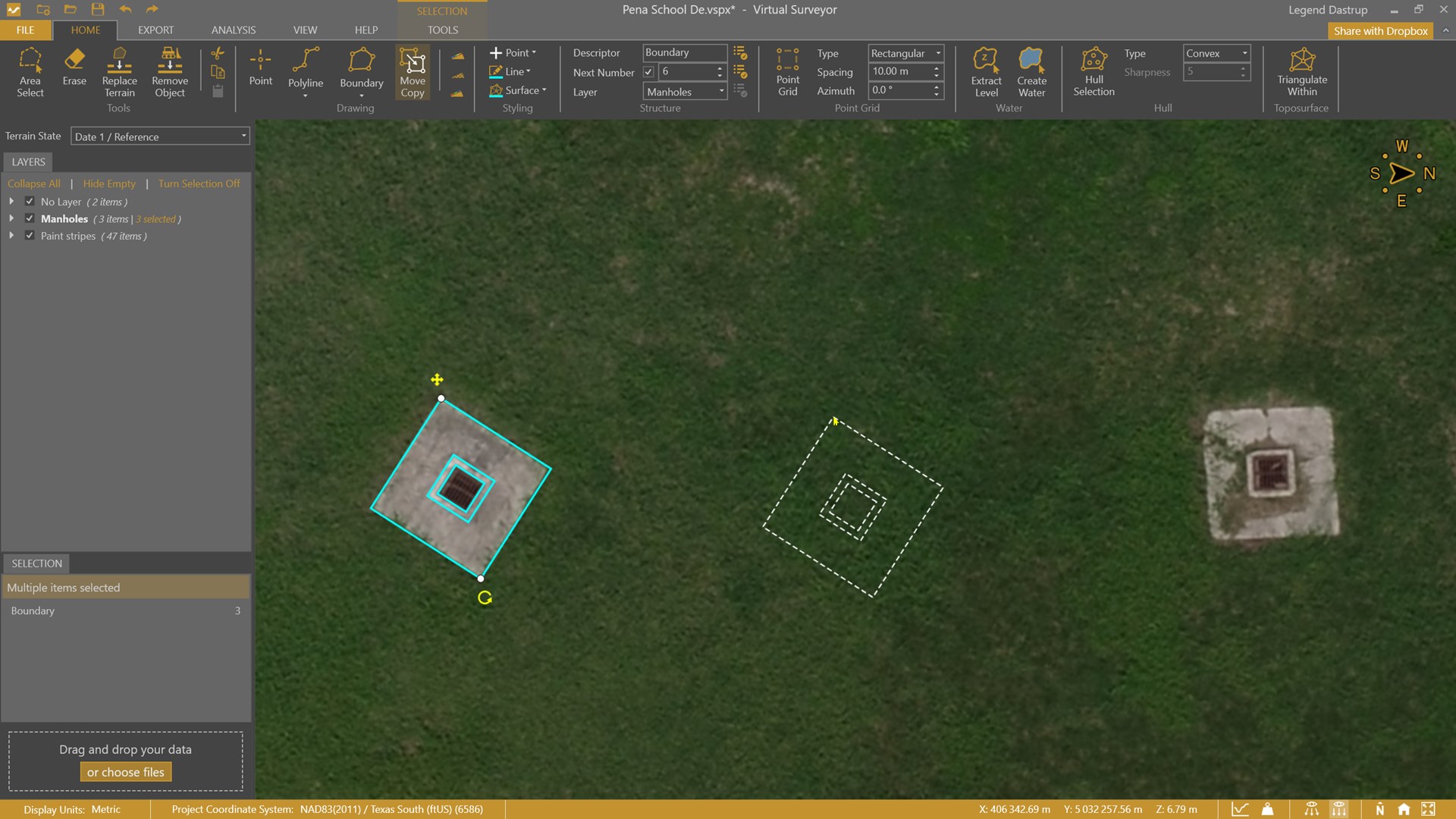
Move/Copy – Once the feature, such as a paint stripe, has been surveyed, it can easily be copied and moved to delineate the next stripe. If the stripe bends along a turn in a road, this function lets the user rotate the feature to follow the curve. When multiple nearly identical objects, such as parking space stripes, have been surveyed, they can be moved en masse to survey another group of stripes.
Diagonal First Rectangle Drawing – Rather than manually clicking on four corners of square buildings or rectangular paint stripes, users simply click on diagonal corners, and the object is delineated and surveyed.
Edit Side – Whether features being surveyed are paint stripes or building footprints, no two will be identical. As they are copied, this tool enables the user to edit the feature sides, making them longer or shorter and even adding complex shapes to them.
Mini Toolbars – Rather than constantly re-positioning the cursor to the main toolbar ribbon, users can simply right-click on a feature, and a mini toolbar with the relevant tools pops open next to it for easy capture or editing.
In addition to Planimetric Survey functionality, Virtual Surveyor has made these important upgrades in Version 9.5:
Faster Point Cloud Conversion – Virtual Surveyor now converts drone LiDAR point clouds to DSMs six times faster than version 9.0.
Earthworks Center of Mass Determination – In an Earthworks grid, Virtual Surveyor automatically determines the center of mass for a 3D soil volume and exports the point as coordinates for Cut/Fill calculations.
Current subscribers to Virtual Surveyor Ridge and Peak editions will see their software updated automatically to Version 9.5 with the planimetric tools and other new functionality.
To start a free 14-day trial of Virtual Surveyor and to view details of the Valley, Ridge, and Peak pricing plans, visit www.virtual-surveyor.com.