Virtual Surveyor Unveils Photogrammetry App in Major New Release of Smart Drone Survey Software

Virtual Surveyor has transformed drone surveying with its Terrain Creator app, now part of the latest smart drone surveying software. This tool allows users to process drone photos, creating survey-grade terrains that integrate into the Virtual Surveyor workspace. “Drone surveyors no longer need third-party software,” says CEO Tom Op ‘t Eyndt. Users can now effortlessly create orthomosaics and digital surface models, streamlining their workflow. Start your free 14-day trial today to see how this upgrade can enhance your surveying projects!

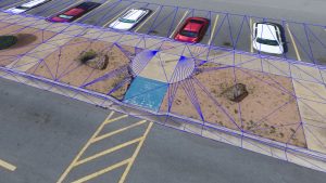
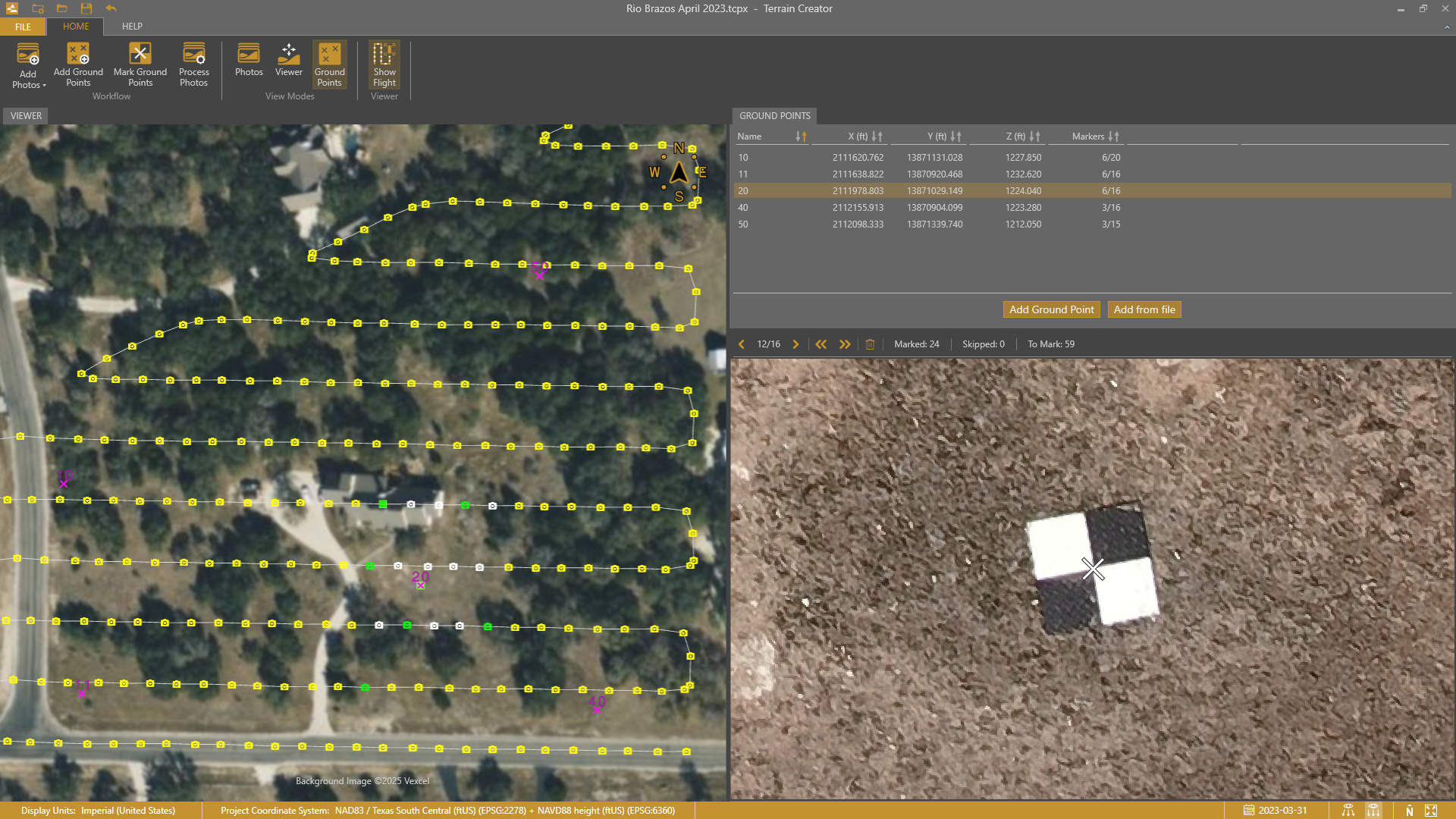
Virtual Surveyor has added drone photogrammetry capabilities to the latest release of its popular Virtual Surveyor smart drone surveying software. The new Terrain Creator app photogrammetrically processes drone photos to generate survey-grade terrains which then transfer seamlessly into the traditional Virtual Surveyor workspace where the real survey work can be performed.

“Virtual Surveyor software is now two desktop apps in one subscription package that create a seamless end-to-end drone survey workflow to save time and money,” said Tom Op ‘t Eyndt, Virtual Surveyor CEO. “Terrain Creator removes complexity from the drone photogrammetry process, offering a visual and intuitive application to produce an orthomosaic and digital surface model (DSM) from drone photos.

”Virtual Surveyor software was originally developed to bridge the gap between drone photogrammetric processing applications and engineering design packages. Until this new release, users had to rely on third-party software to generate elevation models and an orthomosaic that could then be worked on with the Virtual Surveyor toolset to derive the 3D topographic information needed by engineers for construction, surface mining, and excavation projects.

“Drone surveyors no longer have to spend money on a third-party photogrammetry package to convert their drone photos into an orthomosaic and DSMs,” said Op ‘t Eyndt. “It just comes with our package, and the fully integrated workflow eliminates the time spent porting photogrammetry products from another package into Virtual Surveyor.

”Once the survey-grade terrains flow from the Terrain Creator into the Virtual Surveyor desktop app, users access the familiar interactive virtual environment and robust toolsets to generate CAD models, create cut-and-fill maps and calculations, or calculate volume reports – just as they always have in Virtual Surveyor.

Current subscribers to Virtual Surveyor Ridge and Peak editions will see their software updated automatically to Version 9.0 with Terrain Creator. A flexible licensing setup will allow two users within a subscribing organization to use the Terrain Creator and Virtual Surveyor applications simultaneously from different computers.

Virtual Surveyor will demonstrate the new software release with Terrain Creator at InterGEO 2023 on October 10-12 in Berlin, Germany, and other trade fairs this fall.

To start a free 14-day trial of Virtual Surveyor and to view details of the Valley, Ridge, and Peak pricing plans, visit www.virtual-surveyor.com.
Share:

More Posts

Virtual Surveyor Introduces Enhanced Stockpile Reporting in Drone Surveying Software

Calculating and reporting stockpile inventories just got a major upgrade with Virtual Surveyor Version 8.2! This latest release streamlines the entire workflow, allowing users to accurately determine stockpile volumes in drone imagery with just a few clicks. Generate professional PDF reports detailing material tonnage and value in minutes, saving valuable time on-site. Whether you’re in mining, construction, or waste management, this enhanced functionality is a game changer. Plus, with the ability to set up a Project Template and Materials Library, managing your stockpile data has never been easier. Discover how Virtual Surveyor can transform your surveying experience today!

Virtual Surveyor Introduces Dropbox Integration for Easy Collaboration and File Access from Anywhere

Virtual Surveyor has just launched Dropbox integration in Version 8.0 of its innovative drone surveying software, allowing users to access project files from anywhere and collaborate effortlessly with team members and clients, even in low-bandwidth situations. This integration combines the power of desktop software with the flexibility of cloud storage, ensuring users maintain complete control over their data. With features like team folders, external sharing options, and automatic file backup, Virtual Surveyor is revolutionizing the way surveyors work. Discover how this new functionality can enhance your surveying experience and streamline your projects today!

Virtual Surveyor Introduces Curb & Gutter Mapping in New Version of Drone Surveying Software

Virtual Surveyor has unveiled an exciting new feature in Version 7.6 of its drone surveying software: Curb & Gutter mapping. This innovative functionality allows surveyors to create precise CAD models of curbs and gutters, essential for effective water drainage planning. With the ability to input field measurements and extrapolate data, mapping becomes more accurate than ever. Additionally, the software includes enhancements like dynamic user experiences and easy mapping of circular features. Discover how these advancements can elevate your surveying projects and ensure engineers have the best baseline for designing safe road infrastructure. Read on to learn more!

Send Us A Message

Great! We’ve received your information.