Virtual Surveyor Introduces Curb & Gutter Mapping in New Version of Drone Surveying Software

Virtual Surveyor has unveiled an exciting new feature in Version 7.6 of its drone surveying software: Curb & Gutter mapping. This innovative functionality allows surveyors to create precise CAD models of curbs and gutters, essential for effective water drainage planning. With the ability to input field measurements and extrapolate data, mapping becomes more accurate than ever. Additionally, the software includes enhancements like dynamic user experiences and easy mapping of circular features. Discover how these advancements can elevate your surveying projects and ensure engineers have the best baseline for designing safe road infrastructure. Read on to learn more!

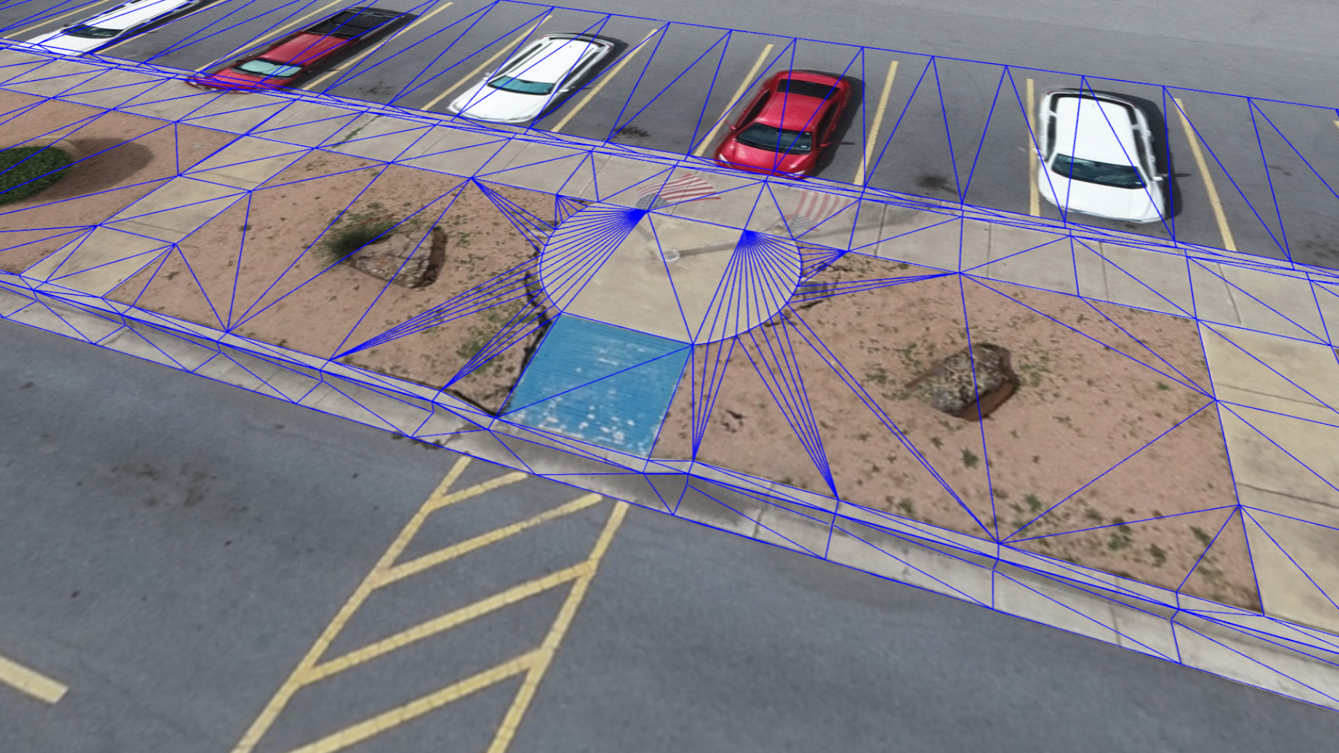
Virtual Surveyor has introduced Curb & Gutter mapping functionality in Version 7.6 of its popular drone surveying software. The new capability enables surveyors to create a lightweight CAD model of curbs and gutters along the edges of streets and parking lots from standard orthophotos and elevation models captured by unmanned aerial vehicles (UAVs), or drones.

“Accurately mapping the height of curbs and geometry of gutters is critical for modeling the flow of water away from streets and other pavement surfaces into drains and dewatering infrastructure,” said Tom Op ‘t Eyndt, Virtual Surveyor CEO. “The new capability maps the existing curb and gutter configuration as a baseline for planning reconstruction or repairs of streets and sidewalks.”

Virtual Surveyor is a powerful surveying software that bridges the gap between drone photogrammetric processing applications and engineering design packages. The software generates an interactive onscreen environment with drone orthophotos/DSMs and/or LiDAR point clouds where the user can compare multiple drone surveys in a matter of seconds.

The challenge of mapping curbs in 3D from drone data is that the sharp curb edges are not captured well with drone photogrammetry. Virtual Surveyor now allows the surveyor to input curb height measurements taken in the field as offsets starting from the back of the curb. The software can then extrapolate the top and bottom values along entire lengths of the curb and gutter feature. The software will even extrapolate under overhanging objects, such as parked cars, and map the curb arc geometry around curves at street corners.

“Mapping curbs and gutters is an important surveying task that ensures that engineers start from the good baseline when designing safe road infrastructure,” said Op ‘t Eyndt.

Virtual Surveyor 7.6 contains several other enhancements that will facilitate surveying with drone data:

Circles and Rectangles – Manhole covers, planting beds and other circular or rectangular features can easily be outlined and mapped.

Interpolate Z – When the user selects the Start and End Points of vertices, the software interpolates elevation of vertices in between.

Dynamic User Experience – The software automatically changes the Input Settings shown to the user onscreen depending on the functions be performed at any given time.

Orthophoto Control – With one click, the user can turn all orthophoto layers on or off to gain a better view of contour edges and elevation changes.

The Curb & Gutter functionality is included in the Virtual Surveyor Ridge and Peak editions. Current subscribers to Virtual Surveyor will see their software being updated to Version 7.6 automatically.
Share:

More Posts

Virtual Surveyor Unveils Photogrammetry App in Major New Release of Smart Drone Survey Software

Virtual Surveyor has transformed drone surveying with its Terrain Creator app, now part of the latest smart drone surveying software. This tool allows users to process drone photos, creating survey-grade terrains that integrate into the Virtual Surveyor workspace. “Drone surveyors no longer need third-party software,” says CEO Tom Op ‘t Eyndt. Users can now effortlessly create orthomosaics and digital surface models, streamlining their workflow. Start your free 14-day trial today to see how this upgrade can enhance your surveying projects!

Virtual Surveyor Unveils Innovative Method of Generating Topographic Surfaces from Drone Survey Data

Virtual Surveyor has launched its Auto-Flip Edges functionality in Version 8.7, transforming topographic surface generation from drone survey data. This innovative algorithm improves triangular irregular networks (TINs) by optimizing triangle placement for accurate terrain representations. CEO Tom Op ‘t Eyndt highlights its advantages for 3D mapping in excavation and construction. With features like faster file navigation and a Material Editor, Version 8.7 enhances user experience. Discover how these updates can elevate your surveying projects—start your free 14-day trial today!

Comprehensive Insights into Drone Survey Data with Addition of Profile View

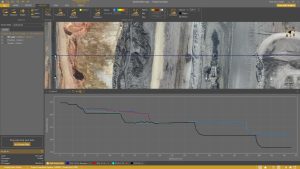
With the launch of Version 8.4, Virtual Surveyor introduces the innovative Profile View functionality, revolutionizing how surveyors analyze topographic data captured by drone mapping sensors. This new feature allows users to effortlessly generate elevation profiles by drawing traverses across their data sets, enhancing their understanding of terrain in 2D, 3D, and profile views. Whether monitoring excavation progress or ensuring grading accuracy at construction sites, the Profile View is set to become an invaluable tool for professionals in construction, mining, and excavation. Discover how this upgrade, along with other exciting features, can elevate your surveying experience!

Send Us A Message

Great! We’ve received your information.