Virtual Surveyor has developed an enhanced point cloud workflow for Version 8.3 of its drone surveying software that allows users to take full advantage of the new LiDAR payloads like the DJI Zenmuse L1. LiDAR drone sensor systems enable users to capture survey-grade elevation data even in vegetated terrain.“
The powerful DJI Zenmuse L1 system is especially receiving fast adoption by drone users in construction, engineering, and other surveying applications for its affordable price tag and ability to collect elevation data with 5-centimeter vertical accuracy,” said Tom Op ‘t Eyndt, Virtual Surveyor CEO.
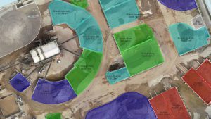
Virtual Surveyor is a robust surveying software that bridges the gap between drone photogrammetric processing applications and engineering design packages, enabling surveyors to derive topographic information from drone data needed by engineers for construction, mining, and excavation projects. The software presents an interactive onscreen environment with drone orthophotos, digital surface models (DSMs), and/or LiDAR point clouds where users generate CAD models, create cut-and-fill maps, and calculate volume reports.
Virtual Surveyor 8.3 features a new Point Cloud Importer tool to quickly and easily convert LiDAR data and to define the data coordinate system. The Importer is complemented by four new capabilities that represent a complete workflow to utilize captured elevation data in a drone surveying project:
Generate Color Orthophotos – Virtual Surveyor reads the Red Green Blue (RGB) color values captured by the integrated L1 camera and assigns them to their correlating elevation points, generating a natural color orthophotograph.
Favor low points – A new algorithm allows users to favor low elevation values from the point cloud, which helps to create a bare-Earth topographic model of the true ground surface. This feature is valuable in site planning surveys at construction sites that have yet to be cleared of vegetation.
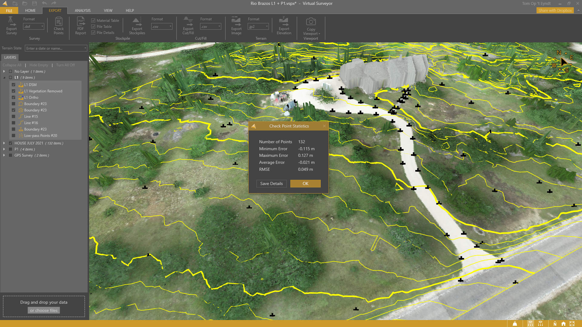
Check Points – With a simple button click, users can compare the accuracy of LiDAR (or photogrammetric) elevation values against GPS points collected in the field. The software generates a quality report calculating RMS errors and overall elevation accuracy for the terrain data set.
Offset Elevation Function – Once overall terrain accuracy has been determined, Virtual Surveyor enables users to adjust for the average elevation error by offsetting the terrain in a positive or negative Z value, as needed.
“With Version 8.3, Virtual Surveyor users can convert point cloud data to create remarkably accurate topographic surfaces at bare earth level,” said Op ‘t Eyndt.
In addition to the new Point Cloud workflow, Virtual Surveyor 8.3 contains these new functions:
Capture Viewport – Users can now quickly produce graphic reports by clicking a single button to take a screen shot of content in the viewport and then paste it into a document or presentation.
Improved Interface – Primary and Secondary buttons in the user interface are now color-coded for a quick decision-making process.
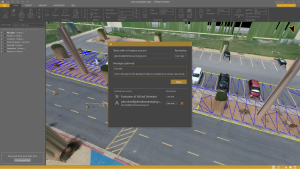
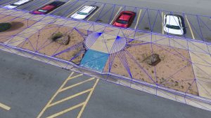
Surface Clipping Tool – Users can easily clip a topographic TIN surface to match the project extent exactly.
Current subscribers to Virtual Surveyor will see their software updated to Version 8.3 automatically. To start a free 14-day trial of Virtual Surveyor and to view details of the three pricing plans, visit www.virtual-surveyor.com.