Virtual Surveyor has introduced new functionality in Version 7.3 of its popular drone surveying software to create a simplified workflow for monitoring earthworks progress at construction sites. The productive workflow enables construction managers to quickly calculate cut-and-fill changes over time for comparison with the Earthworks design plan.
“Drones are an inexpensive and accurate way to monitor the movement of dirt at construction projects, but surveying software has lacked the tools for quick earthworks analysis with drone imagery – until now,” said Tom Op ‘t Eyndt, CEO of Virtual Surveyor nv in Belgium. “Virtual Surveyor 7.3 has streamlined the cut-and-fill mapping process to create a complete monitoring workflow.
”Virtual Surveyor software is a powerful construction monitoring tool because it bridges the gap between Unmanned Aerial Vehicle (UAV) photogrammetric processing applications and engineering design packages. The software generates an interactive onscreen environment with drone orthophotos/DSMs and/or LiDAR point clouds where the user can compare multiple drone surveys in a matter of seconds.
In the streamlined monitoring workflow, the construction manager often receives a 2D CAD file showing the planned earthworks design and converts it to a 3D surface, or TIN, in Virtual Surveyor. On a regular basis, often weekly, drone images are collected over the site and then also converted to surfaces in the software for digital comparison with the earthworks design model. Before the comparison is made, Virtual Surveyor allows for precise cleaning of the new surface map.“
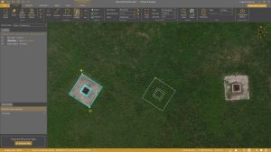
Earthworks projects are strewn with bulldozers, equipment piles, excavators, and other objects that can skew the calculations of dirt volumetrics,” said Op ‘t Eyndt. “A new feature in Version 7.3 called Remove Object lets the user select and delete the extraneous item from the drone-derived surface model with a single click.”
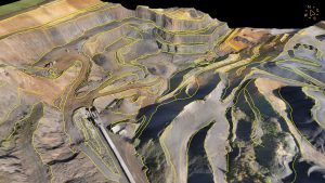
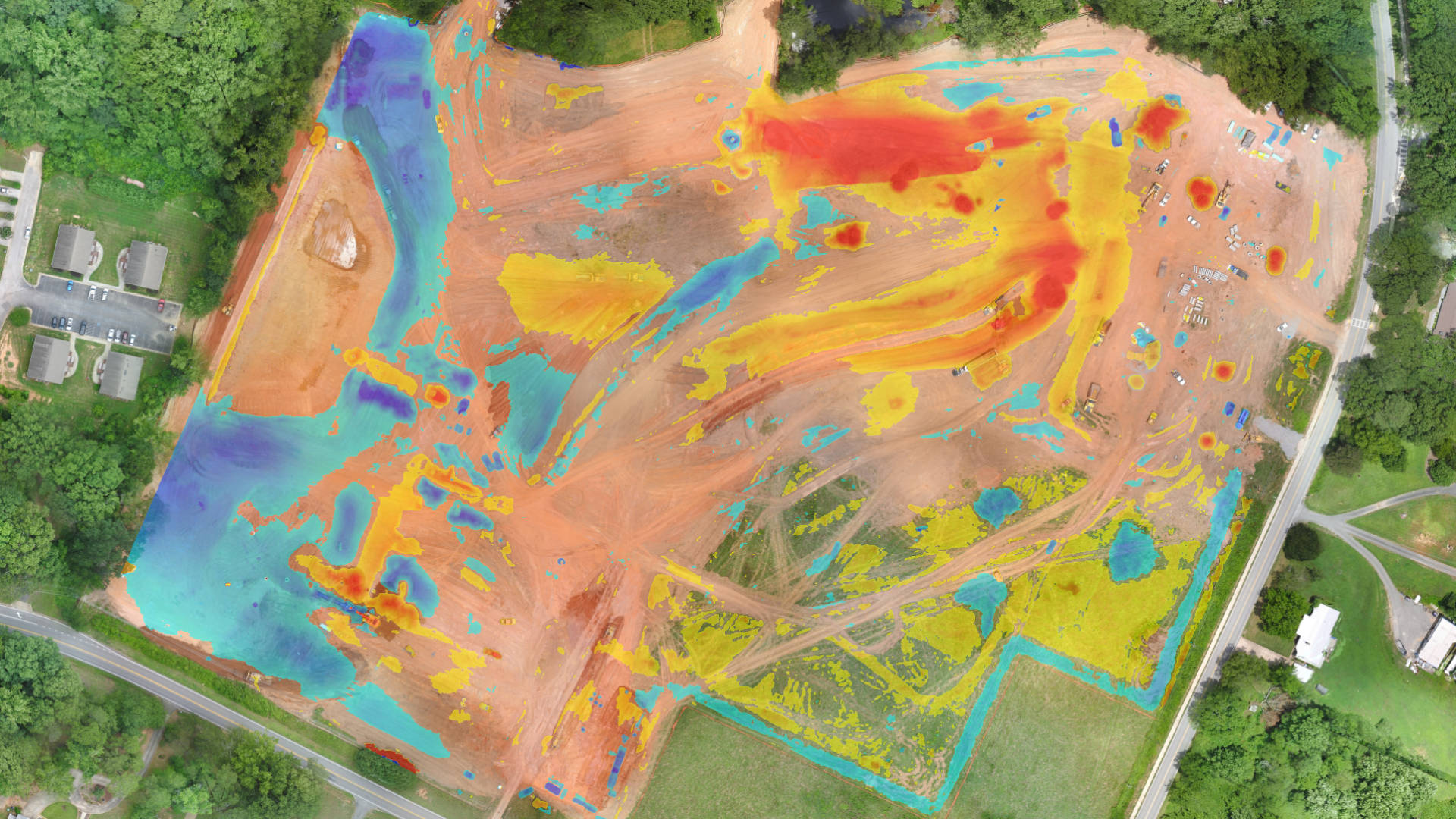
Once the surface model has been cleaned, Virtual Surveyor can instantly compare it to the earthworks design surface and calculate a volume difference, which is represented as a 3D cut-and-fill map. Another new featured called Spot Heights determines precise terrain elevation values, relative to the design, at a user-selected point spacing throughout the project site, giving the construction manager details of the progress related to the movement of dirt.“
The construction manager can also extract smaller areas from the project cut-and-fill map to perform a more detailed analysis,” said Op ‘t Eyndt. “This is ideal to verify if the reported dirt removal and addition is in line with the invoiced quantities.”
Virtual Surveyor offers a variety of reporting options for showing the calculation results as colorized cut-and-fill topographic maps with overlaid Spot Heights. These progress maps can be easily created as often as new drone imagery is captured. Virtual Surveyor also enables the construction manager to output 2D design plans as 3D models for use as inputs into machine control systems on the Earth-moving equipment.
The latest features in Virtual Surveyor 7.3 and their applications in a large construction project are demonstrated in this video: https://youtu.be/j_R4xs7jJHI
Current subscribers to Virtual Surveyor will see their software being updated to Version 7.3 automatically. To start a free 14-day trial of Virtual Surveyor, visit www.virtual-surveyor.com.