Virtual Surveyor has significantly reorganized its smart drone surveying software plans with the addition of the Productivity Tools suite to the Ridge plan. Previously available only in the highest-level subscription package, the Productivity Tools enhance the speed of creating survey products from UAV-derived images and LiDAR data.
Virtual Surveyor software provides users an end-to-end workflow to conduct 3D surveys from drone imagery offered under progressive subscription plans: Valley (Free), Ridge, and Peak.
Now that Productivity Tools have been incorporated into Ridge, the primary differentiator between the two paid plans is the time component. Ridge creates survey products from a single drone flight representing one moment in time. The high-level Peak, on the other hand, generates and analyzes survey products from two or more drone flights to show change over time, such as cut-and-fill calculations and elevation profile differences.“
The addition of Productivity Tools to the Ridge plan greatly accelerates the workflow to generate snapshot survey products such as lightweight CAD models or stockpile inventories,” said Tom Op ‘t Eyndt, Virtual Surveyor CEO. “For our Ridge customers, it’s like getting tools that allows them to work significantly faster for the same price.”
Virtual Surveyor will demonstrate the full surveying and photogrammetric functionality of its smart drone surveying package, including the Productivity suite, in Booth L1.034 at InterGEO 2024 being held this week (Sept. 24-26) in Stuttgart, Germany.
The Productivity Tools include several of the most popular and often used functions in the smart drone surveying package:
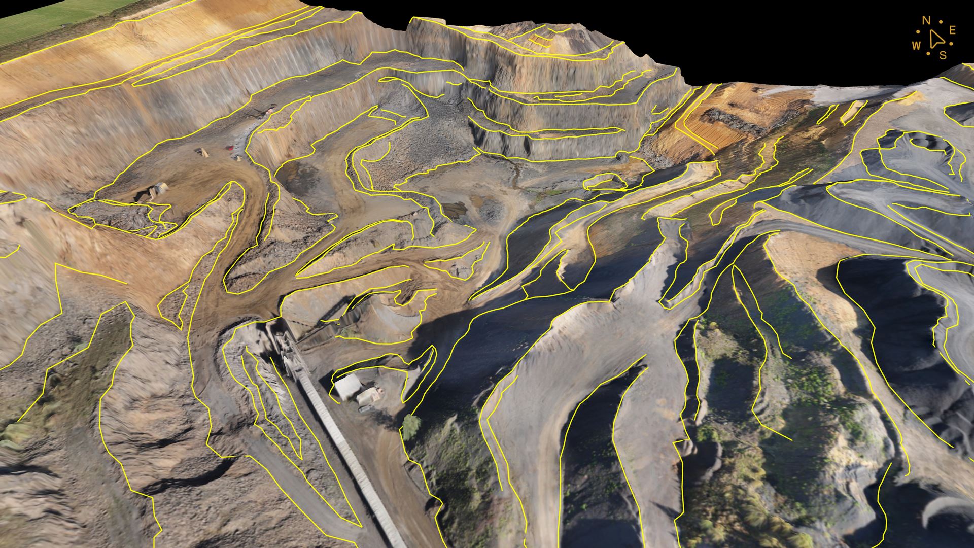
Guided Breakline Drawing – Rather than select every individual survey point that defines a breakline, this tool allows the surveyor to click on just two points to define a short line segment and its direction in the virtual terrain. In seconds, the software then grows the entire breakline.
Q-Points Grid – Helps to generate Surfaces or TINs in mines, quarries and constructions sites by automatically selecting only the meaningful ground points that define the topography. The Surveyor maintains the ability to edit and delete unnecessary points, before triangulating them together, into a Surface or TIN.
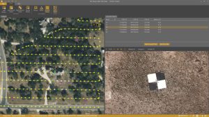
Low-Pass Point Grid – Looks for points at ground level between the trees and shrubs. While the software places many points in seconds, the Low-Pass tool allows surveyors to add or delete points onscreen and rely on their expertise to choose the ideal grid spacing, ultimately generating a clean topographic model at bare-earth.
Section Lines – This tool is a good choice for road surveying. It creates a series of perpendicular lines along a centerline, allowing to generate a lightweight CAD model of the road. These lines are spaced at regular intervals, which helps in creating topographic representations and cross-sections of roads or terrain for analysis.
Extract Level – Used to create a flat polyline or boundary at a selected elevation, helping to clean noisy areas, such as water surfaces, or assess volumes above or under specific elevations.
Current subscribers to Virtual Surveyor Ridge edition will see their software updated automatically to Version 9.7 with the Productivity Tools suite.
Since 2023, Virtual Surveyor has included photogrammetric functionality along with its traditional surveying capabilities. The integrated Terrain Creator app photogrammetrically processes drone photos to build survey-grade digital surface models (DSMs) and orthomosaics. These transfer seamlessly to the traditional Virtual Surveyor app where users perform the real survey work – generating CAD models, creating cut-and-fill maps, calculating soil volumes, and deriving other 3D topographic information.
No third-party software is needed to create surveys from drone data for use by engineers in construction, surface mining, and excavation projects.
To start a free 14-day trial of Virtual Surveyor and to view details of the Valley, Ridge, and Peak pricing plans, visit www.virtual-surveyor.com.