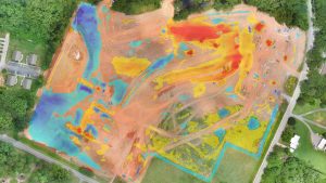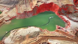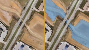
Virtual Surveyor has added Basic Topographic Design tools to Version 10 of its smart drone surveying package allowing users to design simple terrain changes, such as graded roads, water ponds and, and flat building surfaces, on top of their surveys. To accurately visualize these future topographies, Virtual Surveyor has re-organized its software plans around the concept of time.
Virtual Surveyor software has traditionally provided users an end-to-end workflow to conduct 3D surveys from drone imagery under progressive subscription plans: Valley, Ridge, and Peak. Valley is the free introductory package, while the paid Ridge and Peak products offer increasingly robust capabilities to create 3D survey products from UAV-derived images and LiDAR data.
In Version 10, a new Mountain plan has been added between Ridge and Peak, and all three are differentiated by the concept of Time. The Ridge plan contains functionality users need to survey one moment in time from a single drone data set, while Mountain introduces Timelines to compare two or more surveys conducted at different times, or Time Steps. The Peak plan now includes Topographic Design functions to create structures to be built at a future time.
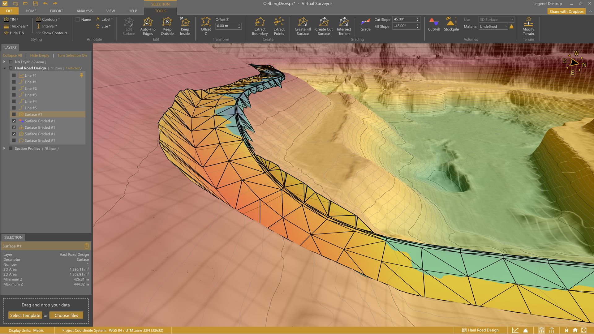
“The new Topographic Design tools in the Peak plan were developed for engineering surveyors to design rock walls, roads, or water ponds in the existing terrain for excavations, mines, quarries, water management and construction projects,” said Tom Op ‘t Eyndt, Virtual Surveyor CEO. “Designs can be exported in machine model formats for use in software to operate bulldozers, graders, and other Earth-moving equipment.”
The Peak plan’s Topographic Design functions enable engineering surveyors to plan a variety of new features, creating new Time Steps in the Timeline. The user simply draws the future structure on the baseline UAV-derived orthophoto or elevation model. The software corrects the angle and alignment of the feature to smoothly connect it with upper, lower and surrounding terrain surfaces. The existing cut-and-fill tool calculates the volume of dirt or rock that must be removed or added to achieve the planned design.
Virtual Surveyor V10 includes several other upgrades that complement and facilitate drawing the planned feature with the Topographic Design tools:
Ridge plan and above now offer Drawing Guides that enable users to draw points on lines at specific intervals (e.g. every 5m or 10m) or draw angles at exact specifications (45 or 90 degrees).
Mountain plan, as noted, introduces Timelines to organize drone data over time. Multiple surveys from different dates can be compared to visualize and quantify change either in map view or as a 3D elevation profile. The Timeline can include future structures drawn with the Design tools.
All subscription plans, including the free Valley, now offer the Walk Mode which allows the user to “walk” through the 3D survey and view the terrain at ground level.
“Virtual Surveyor users can employ the Walk Mode to visualize the 3D terrain from past and present drone surveys and then experience future topographies during the design phase,” said Op ‘t Eyndt.
To start a free 14-day trial of Virtual Surveyor and to view details of the Valley, Ridge, Mountain, and Peak pricing plans, visit www.virtual-surveyor.com.