Virtual Surveyor has released Version 7.1 of its popular drone surveying software, introducing functionality to efficiently calculate volumetrics in quarries, mine pits, retention ponds, and other basins that fill with water. This new functionality complements advanced cut-and-fill mapping capabilities unveiled in late 2019.“
Virtual Surveyor is now the go-to package for managers of mines, drainage pits, and stormwater retention basins,” said Tom Op ‘t Eyndt, CEO of Virtual Surveyor nv in Belgium. “Volumetric calculations involving water bodies can be performed much faster and more accurately.”
Virtual Surveyor is popular among surveyors because it bridges the gap between UAV photogrammetric processing applications and engineering design packages. The software generates an interactive onscreen environment with UAV orthophotos/DSMs and/or LiDAR point clouds where the surveyor selects survey points and breaklines to define the topography, creating highly accurate products up to five times faster than otherwise possible.
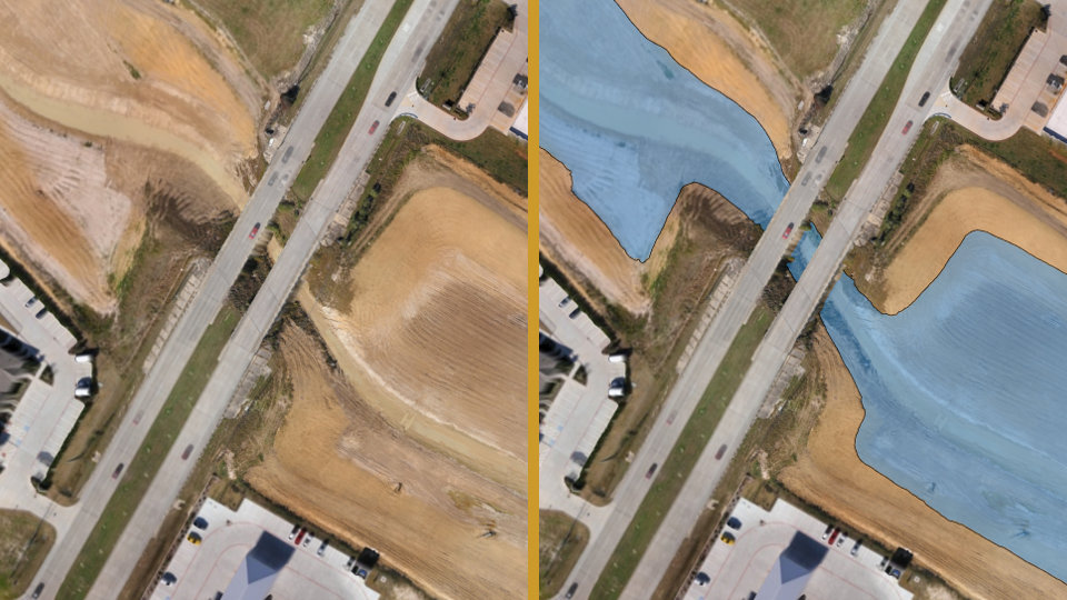
In Version 7.1, the user may apply two new functions called Extract Level and Create Water to delineate an entire water body and represent its surface as a single elevation. Extracting the water level as a uniform flat surface from an orthophotograph is difficult due to ‘noise’ inherent in the drone data set. This process previously required the user to manually delineate the water feature by selecting dozens of points around its perimeter.
The Extract Level and Create Water functions are faster because delineating the water feature can be accomplished with a single click on a point where the water meets the edge of a basin, pond or quarry. This creates a perfectly flat elevation for the water surface in the generated surface model.“
With the water surface elevation precisely mapped, Virtual Surveyors can easily and accurately apply volumetric calculations to determine how much more water the feature can hold,” said Op ‘t Eyndt. “Even when no water is in the pond or basin, this new functionality makes estimation of the retention scenarios a much faster process.”
This new capability builds on the cut-and-fill mapping enhancements added to Virtual Surveyor last year, enabling users to quickly perform volume difference calculations and generate cut-and-fill maps from drone images captured on two or more different dates. Stormwater managers can use all these functions together, for example, to determine how much sediment has been deposited in water retention ponds.
Virtual Surveyor users will find several other new or enhanced capabilities in Version 7.1:
Seamless Workflow to CAD – Virtual Surveyor has added the JPEG2000 compression format in its export function to create a seamless and efficient workflow to transfer orthophotos and other raster files directly to popular CAD software packages.
Editing of Surfaces – Users may now create holes in surfaces by applying a clip boundary and removing individual triangles to exclude areas from volume calculations.
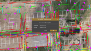
Australian Coordinate System – Virtual Surveyor 7.1 supports the new GDA2020 coordinate system rolled out in Australia at the start of 2020.“
We have improved the overall user experience in the newest version by adding several simple commands so users can select multiple objects and vertices or group lines into a single boundary with just a click or two of the mouse,” said Op ‘t Eyndt.
Current subscribers to Virtual Surveyor will see their software being updated to Version 7.1 automatically.