Terrain Creator
Create an Ortho + DSM from drone photos in an easy way
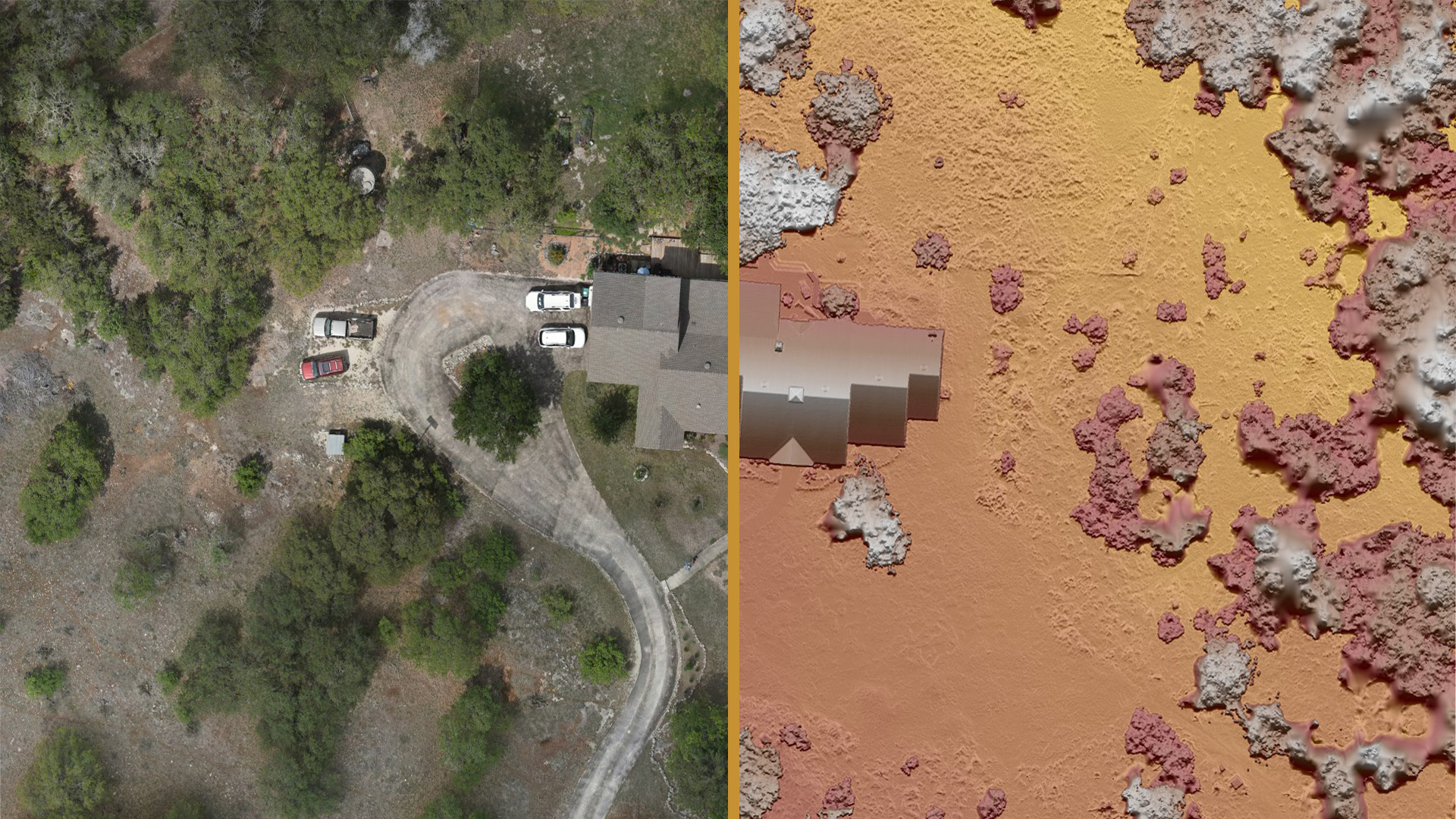
ORTHOMOSAIC & DSM CREATION
Create Orthomosaics and Digital Surface Models (DSMs) through our intuitive workflow that takes out the complexity of the photogrammetry process.
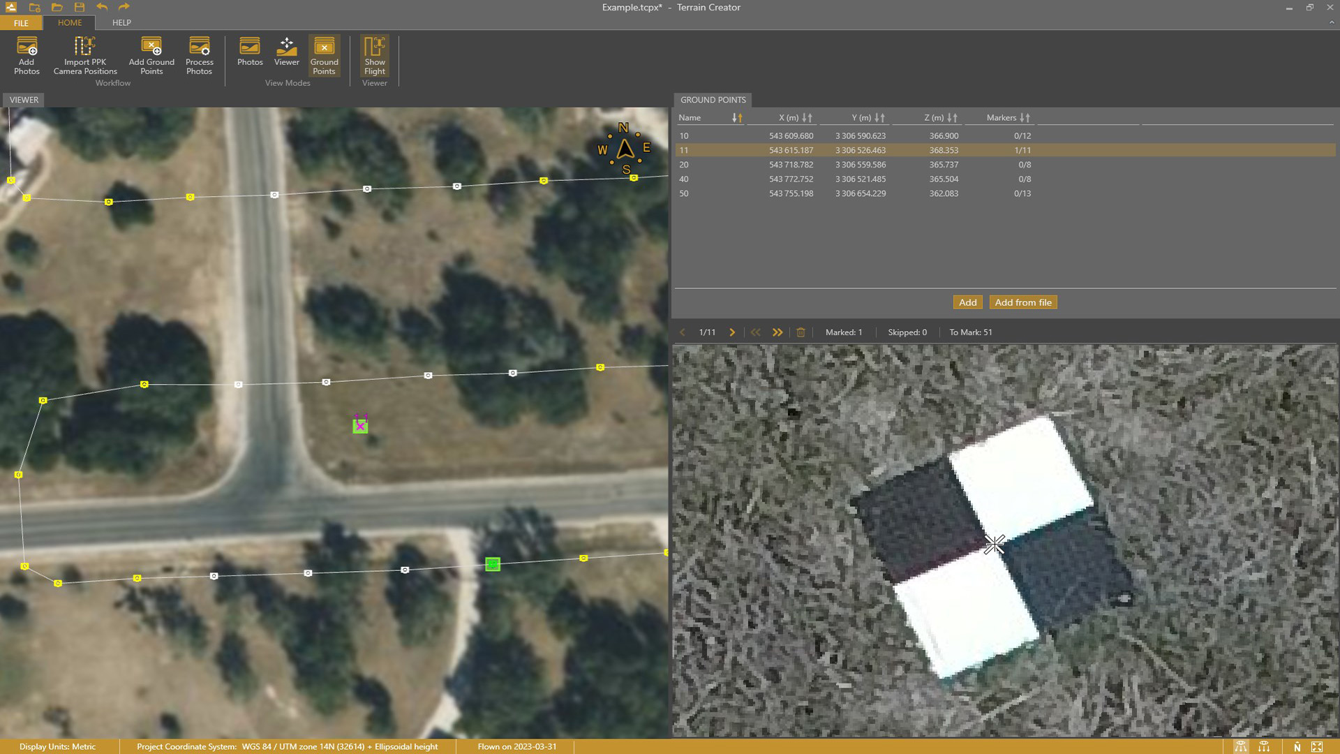
MARK GROUND CONTROL POINTS
Mark ground points in an intuitive way through our guided process. The app suggests the control points to mark and updates the model through iterative cycles.
From Drone Photos to Topographic Surveys [EASY]
watch here
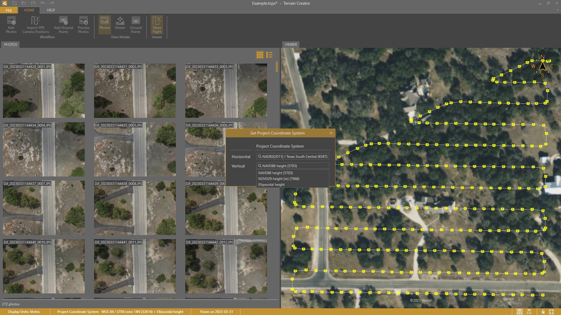
SET A PROJECT COORDINATE SYSTEM
Pick the horizontal and vertical reference system you need for your survey. No hassle with geoidal transformations as the hard work is done behind the curtain.
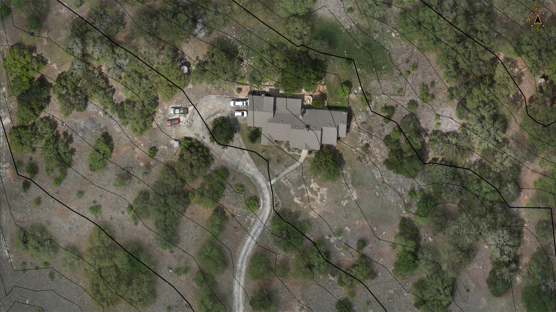
EASY TRANSITION TO SURVEYING
Transfer your work directly into Virtual Surveyor with a click of a button. Then start surveying in this virtual realm as you have always done outside, boots on the ground.
Learn more about Virtual Surveyor